East Craigs, Edinburgh
Map

Map

Facts and practical information
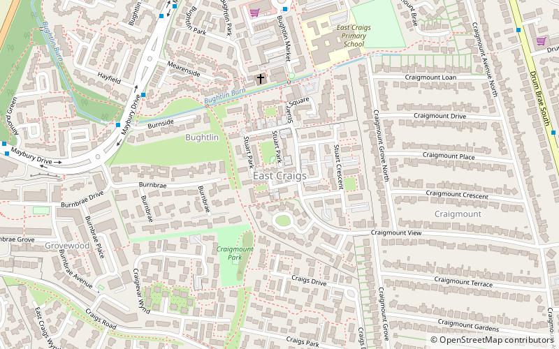
East Craigs is a residential district of Edinburgh located in the north-west of the city, on the western flanks of Corstorphine Hill. It lies next to the green belt, and prior to development was a working farm. ()
Coordinates: 55°56'56"N, 3°18'14"W
Address
East CraigsEdinburgh
ContactAdd
Social media
Add
Day trips
East Craigs – popular in the area (distance from the attraction)
Nearby attractions include: Gyle Shopping Centre, Turnhouse Golf Club, Corstorphine Hill, Corstorphine Old Parish Church.
Frequently Asked Questions (FAQ)
Which popular attractions are close to East Craigs?
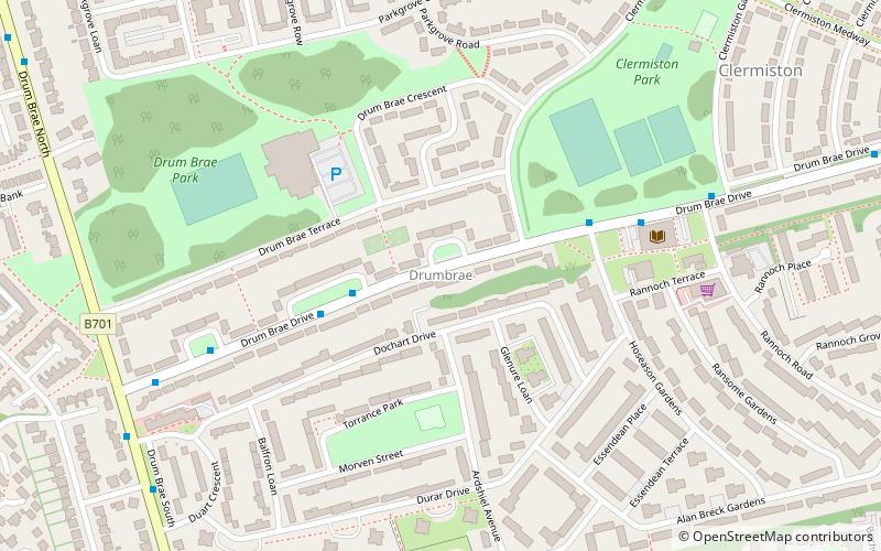
Nearby attractions include Buttercup Farm Park, Edinburgh (13 min walk), Drumbrae, Edinburgh (17 min walk), West Craigs, Edinburgh (17 min walk), Maybury, Edinburgh (18 min walk).
How to get to East Craigs by public transport?
The nearest stations to East Craigs:
Bus
Train
Tram
Bus
- Burnside • Lines: 31 (6 min walk)
- East Craigs Centre • Lines: 31 (6 min walk)
Train
- Edinburgh Gateway (22 min walk)
- South Gyle (23 min walk)
Tram
- Edinburgh Gateway • Lines: Edinburgh Trams Eastbound, Edinburgh Trams Westbound (24 min walk)
- Gyle Centre • Lines: Edinburgh Trams Eastbound, Edinburgh Trams Westbound (24 min walk)


