Newbury College, Newbury and Thatcham

Gallery (1)
Map
Map
Facts and practical information
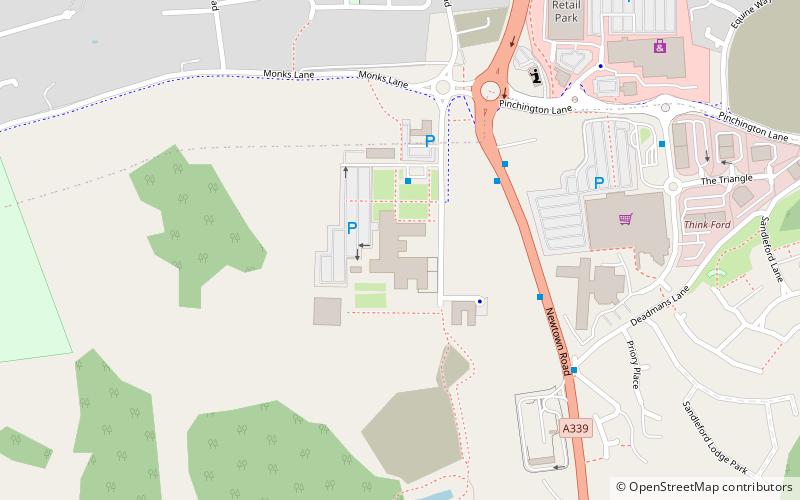
Newbury College is a college of further education in the southern outskirts of Newbury, Berkshire, England, for anyone aged 17 or over. ()
Coordinates: 51°22'57"N, 1°19'22"W
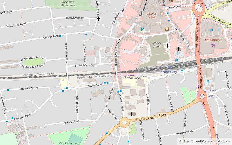
Getting there by public transportation
Public transportation stops near this location
- Train
 Train
Train
- Calculate routeNewbury 27 min walk
- Calculate routeNewbury Racecourse 34 min walk
Day trips


Frequently Asked Questions (FAQ)
How to get to Newbury College by public transport?
The nearest stations to Newbury College:
Train
Train
- Newbury (27 min walk)
- Newbury Racecourse (34 min walk)