Creise
Map

Gallery

Facts and practical information
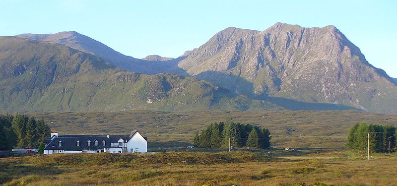
Creise is a Scottish mountain that stands at the eastern end of Glen Coe, just to the south of the A82 road, some 26 kilometres South-southeast of Fort William in the Highland Council area. The mountain was previously known as Clach Leathad in the Munro Tables prior to 1981, its name being changed to Creise when the highest point was found to be 1200 metres further north along the summit ridge when using new mapping techniques. ()
Location
Scotland
ContactAdd
Social media
Add
Day trips
Creise – popular in the area (distance from the attraction)
Nearby attractions include: Buachaille Etive Mòr, West Highland Way, Glencoe Ski area, Stob Ghabhar.


