Teesdale Way, Redcar
Map

Map

Facts and practical information
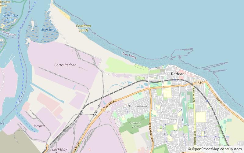
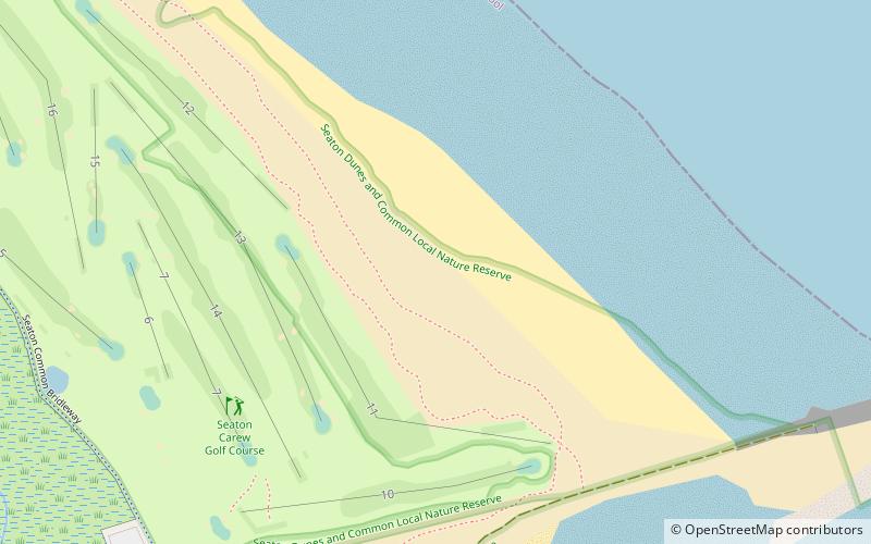
The Teesdale Way is a long-distance walk between the Cumbrian Pennines and the North Sea coast of North Yorkshire in England. The walk is 100 miles in length; it links in with other long-distance walks such as the Pennine Way and the E2 European Walk between Harwich and Stranraer. ()
Length: 100 miCoordinates: 54°37'1"N, 1°6'0"W
Day trips
Teesdale Way – popular in the area (distance from the attraction)
Nearby attractions include: Riverside Stadium, Seaton Carew Golf Club, Eston Nab, Temenos.


