Chillington Hall
#2117 among destinations in the United Kingdom
![Chillington Hall location map](https://tzmedia.b-cdn.net/media/images/static-maps/gb/52_6586_-2_20306.jpg)
Facts and practical information
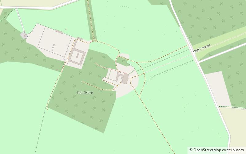
Chillington Hall is a Georgian country house near Brewood, Staffordshire, England, four miles northwest of Wolverhampton. It is the residence of the Giffard family. The Grade I listed house was designed by Francis Smith in 1724 and John Soane in 1785. The park and lake were landscaped by Capability Brown. ()
Chillington Hall plan & book
Unleash the traveler in you — discover the cheapest flight deals, find the perfect hotel or hostel nearby, and search for the best car rental prices. Travel at your own pace to discover new places and enjoy your journey.
Chillington Hall – popular in the area (distance from the attraction)
Nearby attractions include: Boscobel House, Weston Park, Royal Oak, Stretton Aqueduct.
1.9 miNWFarm, Historical place, MuseumBoscobel House, Cannock
48 min walk • Nestled in the serene setting of Bishops Wood, England, Boscobel House stands as a testament to British history and a hidden gem for tourists visiting Cannock. This charming building, rich in character and stories of the past, offers visitors a unique glimpse into the...
4 miNWLavish country house and renowned gardensWeston Park
102 min walk • Weston Park is a country house in Weston-under-Lizard, Staffordshire, England, set in more than 1,000 acres of park landscaped by Capability Brown. The park is located 10 miles north-west of Wolverhampton, and 8 miles north-east of Telford, close to the border with Shropshire.
1.8 miNWTreeRoyal Oak
47 min walk • The Royal Oak is the English oak tree within which the future King Charles II of England hid to escape the Roundheads following the Battle of Worcester in 1651. The tree was in Boscobel Wood, which was part of the park of Boscobel House.
2.5 miNBridgeStretton Aqueduct
65 min walk • Stretton Aqueduct is a short cast iron canal aqueduct between Stretton and Brewood, and near to Belvide Reservoir, in south Staffordshire, England.
1.8 miNETownBrewood
45 min walk • One of the town's most notable landmarks is the picturesque St. Mary and St. Chad Church, a stunning example of medieval architecture that dates back to the 12th century. The church's impressive spire and intricate stained glass windows make it a must-see for history...
3.7 miSWNature, Natural attraction, Protected areaDonington and Albrighton
94 min walk • Donington and Albrighton is a local nature reserve being a valuable site for wildlife and recreation in Shropshire, it has a historical reference as it is the site of St Cuthberts Well which was believed to hold powers to cure the blind.
3.8 miSECanalAutherley Junction, Wolverhampton
97 min walk • Autherley Junction is the name of the canal junction where the Shropshire Union Canal terminates and meets the Staffordshire and Worcestershire Canal near to Oxley, north Wolverhampton, West Midlands, England.
2.2 miSVillage, AreaCodsall, Wolverhampton
57 min walk • Codsall is a large village in the South Staffordshire district of Staffordshire, England. It is situated 4.5 miles northwest of the city of Wolverhampton and 13 miles west-southwest of Telford. It forms part of the boundary of the Staffordshire-West Midlands County border, although along with Perton it is built-up around Wolverhampton.
2 miNCanalBelvide Reservoir
50 min walk • Belvide Reservoir is a reservoir in South Staffordshire, England. It was built in 1833 to supply the Birmingham and Liverpool Junction Canal, and has been managed as a nature reserve since 1977.
3.4 miNEChurchStretton Hall
86 min walk • Stretton Hall is an early 18th-century mansion house at Stretton, South Staffordshire. It is the home of a branch of the Monckton family descended from John Monckton 1st Viscount Galway. It is a privately owned Grade II* listed building, not open to the public.
3.4 miSWVillageAlbrighton
87 min walk • Albrighton is a large village and civil parish in Shropshire, England, 7.5 miles northwest of Wolverhampton and 11.3 miles northeast of Bridgnorth.