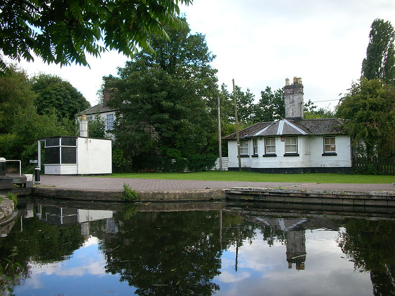
Autherley Junction, Wolverhampton

Gallery (2)
Map
Map
Gallery
Facts and practical information
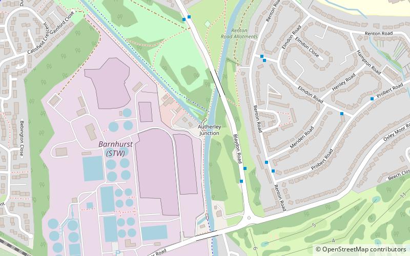
Autherley Junction is the name of the canal junction where the Shropshire Union Canal terminates and meets the Staffordshire and Worcestershire Canal near to Oxley, north Wolverhampton, West Midlands, England. ()
Coordinates: 52°36'57"N, 2°8'46"W
Address
OxleyWolverhampton
ContactAdd
Social media
Add
Getting there by public transportation
Public transportation stops near this location
- Bus
 Bus
Bus
- Calculate routeBlaydon Rd / Oxley Moor Rd 3 min walk
- Calculate routeRenton Rd / Meriden Rd 4 min walk
- Calculate routeSheldon Rd / Elmdon Rd 5 min walk
- Calculate routeElmdon Rd / Probert Rd 7 min walk
Day trips


Frequently Asked Questions (FAQ)
Which popular attractions are close to Autherley Junction?
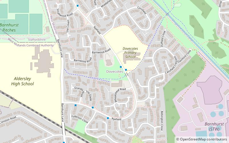
Nearby attractions include Dovecotes, Wolverhampton (13 min walk), Aldersley Junction, Wolverhampton (15 min walk).
How to get to Autherley Junction by public transport?
The nearest stations to Autherley Junction:
Bus
Bus
- Blaydon Rd / Oxley Moor Rd • Lines: 4 (3 min walk)
- Renton Rd / Meriden Rd • Lines: 4 (4 min walk)