Old Market, Bristol
Map
Gallery
Facts and practical information
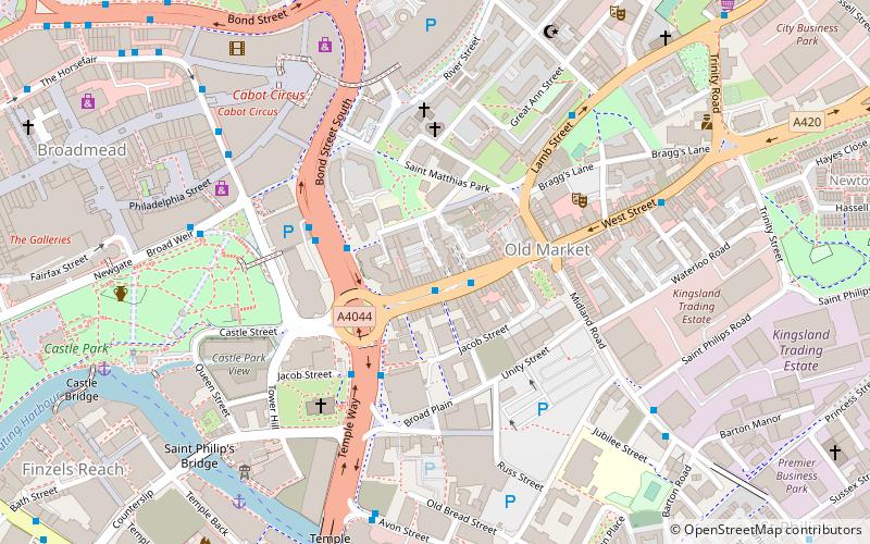
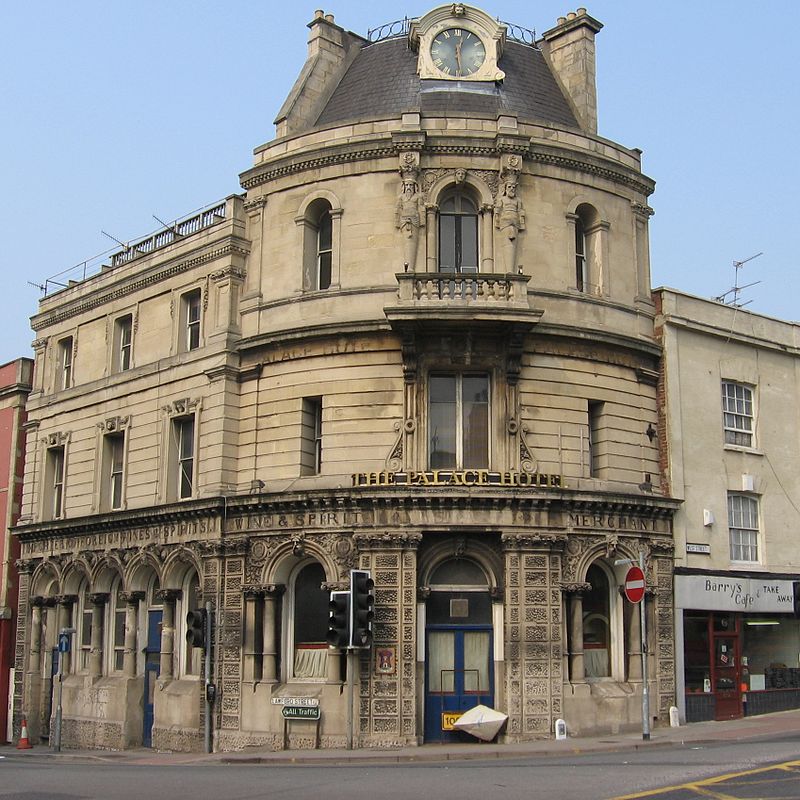
Old Market is a Conservation Area of national significance, to the east of the city centre in Bristol, England. Old Market Street and West Street form the central axis of the area, which is approximately bounded by New Street and Lawfords Gate to the north, Trinity Road and Trinity Street to the east, Unity Street and Waterloo Road to the south and Temple Way Underpass to the west. ()
Coordinates: 51°27'22"N, 2°34'56"W
Address
Lawrence HillBristol
ContactAdd
Social media
Add
Day trips
Old Market – popular in the area (distance from the attraction)
Nearby attractions include: Broadmead, Cabot Circus, The Galleries, Castle Park.
Frequently Asked Questions (FAQ)
Which popular attractions are close to Old Market?
Nearby attractions include The Wardrobe Theatre, Bristol (4 min walk), St Philip and St Jacob, Bristol (4 min walk), Horfield United Reformed Church, Bristol (6 min walk), Cheese Lane Shot Tower, Bristol (6 min walk).
How to get to Old Market by public transport?
The nearest stations to Old Market:
Bus
Train
Ferry
Bus
- Old Market Street • Lines: 43 (1 min walk)
- Temple Way • Lines: 8, 9 (3 min walk)
Train
- Bristol Temple Meads (13 min walk)
- Lawrence Hill (21 min walk)
Ferry
- City Centre • Lines: Hotwells-Centre (19 min walk)
- Prince Street Bridge • Lines: Hotwells-Centre (22 min walk)


