Park Road, Buxton
Facts and practical information
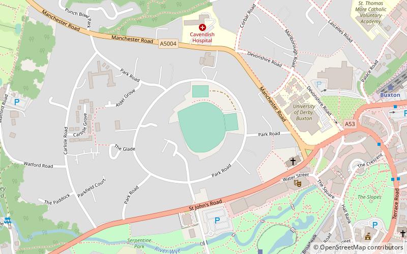
Park Road is a cricket ground in Buxton, Derbyshire, England. It is the home ground of Buxton Cricket Club, and was formerly used by the Derbyshire County Cricket Club first XI between 1923 and 1986. The first First-class match on the ground was in June 1923, when Derbyshire faced the touring West Indians. The ground’s biggest claim to fame was in 1975, when the second day’s play of the County Championship match against Lancashire was wiped out due to snow. Derbyshire generally played one County Championship match at Buxton every year from 1930 to 1976, but have only played there four times since. The most recent first-class match was in August 1986 against Lancashire, who have provided the opposition for 26 of the 48 first-class games at the ground. The ground also hosted ten Derbyshire List A fixtures between 1969 and 1986. ()
Buxton
- Bus
- Train
 Bus
Bus
- Calculate routeBuxton Miniature Railway 7 min walk
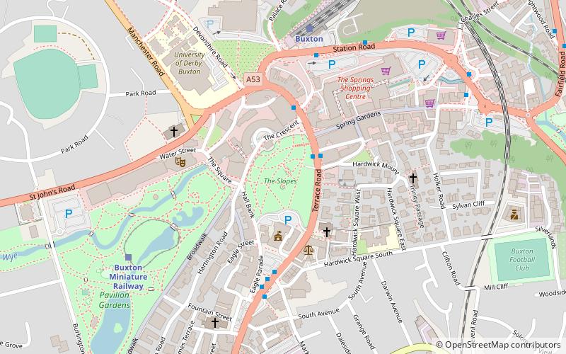
- Calculate routeBuxton 9 min walk
- Calculate routeBuxton, The Quadrant / adjacent Colonnade 8 min walk
Park Road – popular in the area (distance from the attraction)
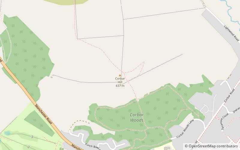
Nearby attractions include: Buxton Opera House, Poole's Cavern, The Slopes, Corbar Hill.


Frequently Asked Questions (FAQ)
Which popular attractions are close to Park Road?
How to get to Park Road by public transport?
Train
- Buxton Miniature Railway (7 min walk)
- Buxton (9 min walk)
Bus
- Buxton, The Quadrant / adjacent Colonnade • Lines: 199 (8 min walk)