Wye Head, Buxton
Map

Map

Facts and practical information
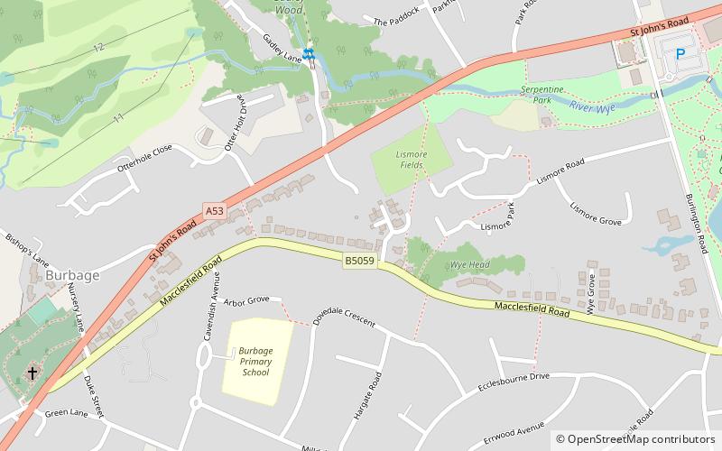
Wye Head is an area in Derbyshire, England. It is in the civil parish of Burbage, on the outskirts of Buxton. It is so named because of a major rising of the River Wye, which carries much of the water from Poole's Cavern. ()
Coordinates: 53°15'18"N, 1°55'41"W
Address
Buxton
ContactAdd
Social media
Add
Day trips
Wye Head – popular in the area (distance from the attraction)
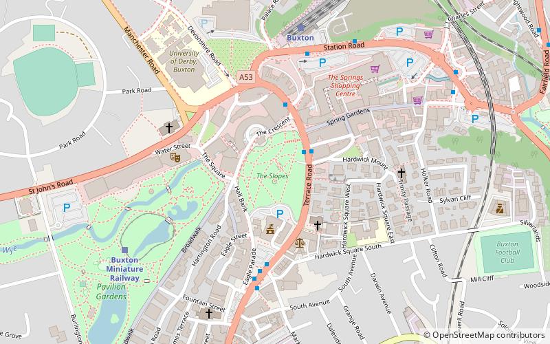
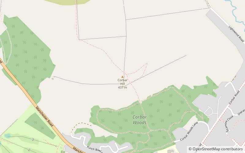
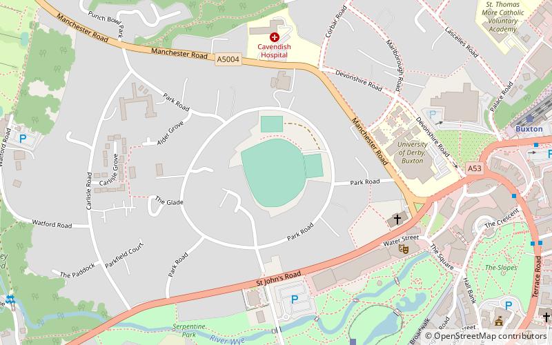
Nearby attractions include: Buxton Opera House, Poole's Cavern, The Slopes, Corbar Hill.
Frequently Asked Questions (FAQ)
Which popular attractions are close to Wye Head?
Nearby attractions include Lismore Fields, Buxton (3 min walk), Poole's Cavern, Buxton (9 min walk), Buxton Opera House, Buxton (14 min walk), The Slopes, Buxton (16 min walk).
How to get to Wye Head by public transport?
The nearest stations to Wye Head:
Train
Bus
Train
- Buxton Miniature Railway (11 min walk)
- Buxton (19 min walk)
Bus
- Buxton, Terrace Road / Market Place • Lines: 199 (15 min walk)


