Buxton Racecourse, Buxton
Map

Map

Facts and practical information
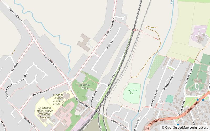
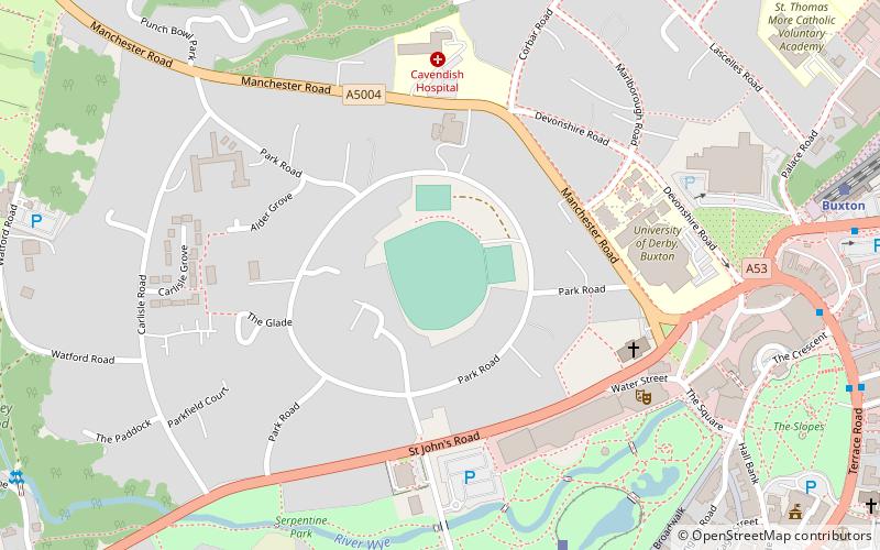
Buxton Racecourse was a horse racing track in the 19th century on Fairfield Common near Buxton in Derbyshire, England. In 1804 an earlier racecourse field was recorded at Heathfield Nook, on the other side of Buxton town. ()
Coordinates: 53°15'54"N, 1°54'32"W
Address
Buxton
ContactAdd
Social media
Add
Day trips
Buxton Racecourse – popular in the area (distance from the attraction)
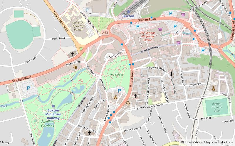
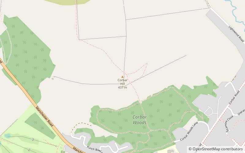
Nearby attractions include: Buxton Opera House, Poole's Cavern, The Slopes, Corbar Hill.
Frequently Asked Questions (FAQ)
Which popular attractions are close to Buxton Racecourse?
Nearby attractions include St Ann's Well, Buxton (13 min walk), The Slopes, Buxton (14 min walk), Buxton Opera House, Buxton (15 min walk), Buxton Museum and Art Gallery, Buxton (15 min walk).
How to get to Buxton Racecourse by public transport?
The nearest stations to Buxton Racecourse:
Bus
Train
Bus
- Buxton, Station Road / adjacent Railway Station • Lines: 199 (9 min walk)
- Fairfield, Fairfield Road / adjacent Church • Lines: 199 (9 min walk)
Train
- Buxton (9 min walk)
- Buxton Miniature Railway (18 min walk)


