Vauxhall Bridge, London
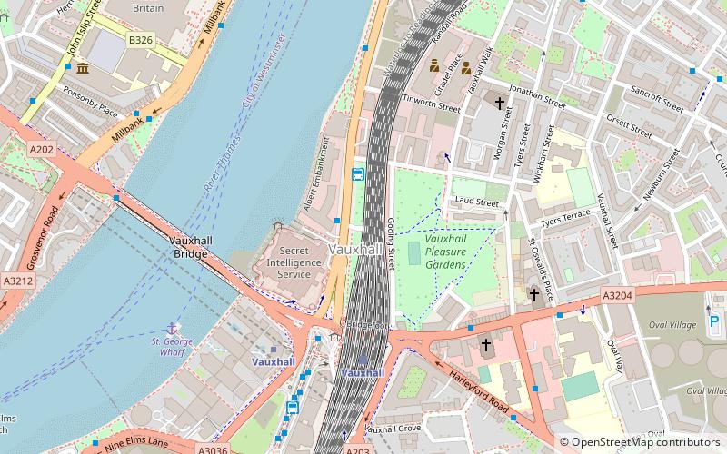
Map
Gallery
Facts and practical information
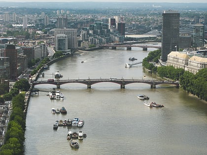
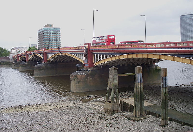
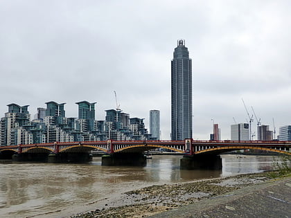
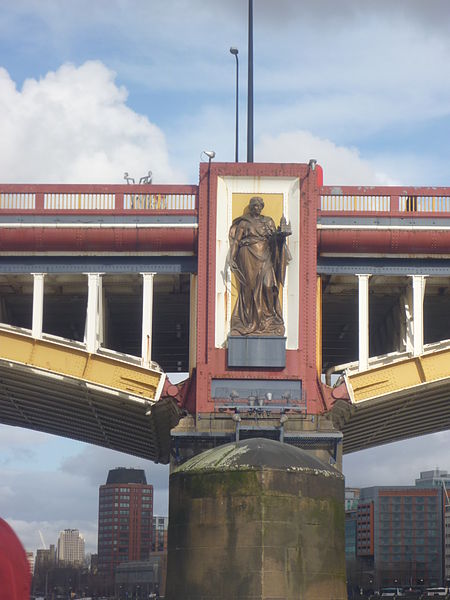
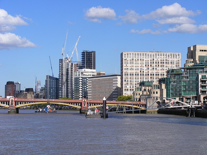
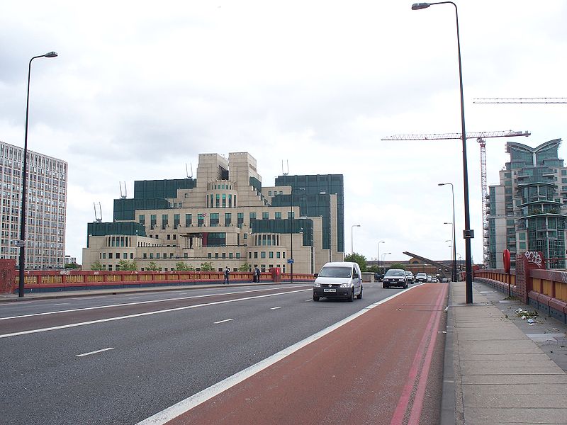
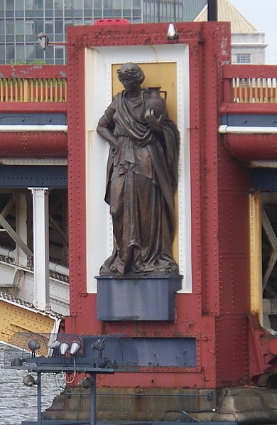
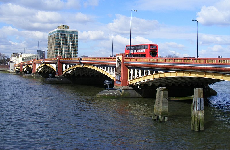
Vauxhall Bridge is a Grade II* listed steel and granite deck arch bridge in central London. It crosses the River Thames in a southeast–northwest direction between Vauxhall on the south bank and Pimlico on the north bank. Opened in 1906, it replaced an earlier bridge, originally known as Regent Bridge but later renamed Vauxhall Bridge, built between 1809 and 1816 as part of a scheme for redeveloping the south bank of the Thames. The original bridge was built on the site of a former ferry. ()
Alternative names: Opened: 26 May 1906 (119 years ago)Length: 809 ftWidth: 80 ftCoordinates: 51°29'18"N, 0°7'45"W
Address
Vauxhall Bridge RdCity of Westminster (Tachbrook)London SW1V 1BB
ContactAdd
Social media
Day trips
Vauxhall Bridge – popular in the area (distance from the attraction)
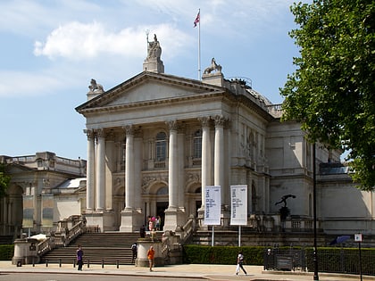
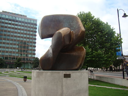
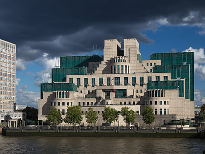
Nearby attractions include: Tate Britain, Lambeth Bridge, Locking Piece, SIS Building.
Frequently Asked Questions (FAQ)
When is Vauxhall Bridge open?
Vauxhall Bridge is open:
- Monday 24h
- Tuesday 24h
- Wednesday 24h
- Thursday 24h
- Friday 24h
- Saturday 24h
- Sunday 24h
Which popular attractions are close to Vauxhall Bridge?
Nearby attractions include Locking Piece, London (3 min walk), Tate Britain, London (6 min walk), SIS Building, London (7 min walk), Riverside, London (7 min walk).
How to get to Vauxhall Bridge by public transport?
The nearest stations to Vauxhall Bridge:
Ferry
Metro
Bus
Train
Ferry
- St. George Wharf • Lines: Rb2 (5 min walk)
- Millbank Millennium Pier • Lines: Rb2 (8 min walk)
Metro
- Pimlico • Lines: Victoria (7 min walk)
- Vauxhall • Lines: Victoria (7 min walk)
Bus
- St George Wharf Pier • Lines: 156, 344, 436 (7 min walk)
- Vauxhall Bus Station (8 min walk)
Train
- Vauxhall (9 min walk)
- London Victoria (21 min walk)


 Tube
Tube