Vauxhall Park, London
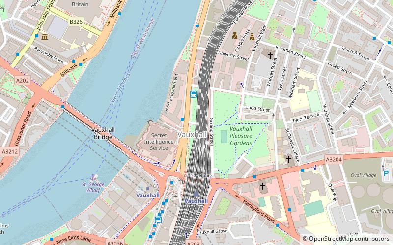
Map
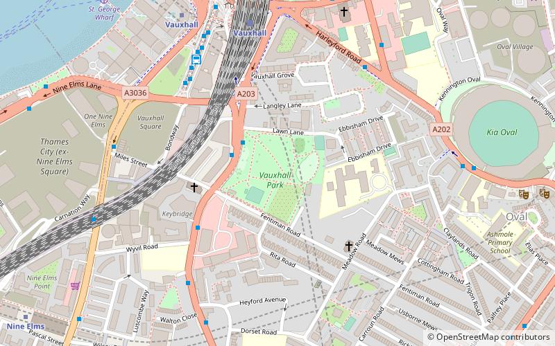
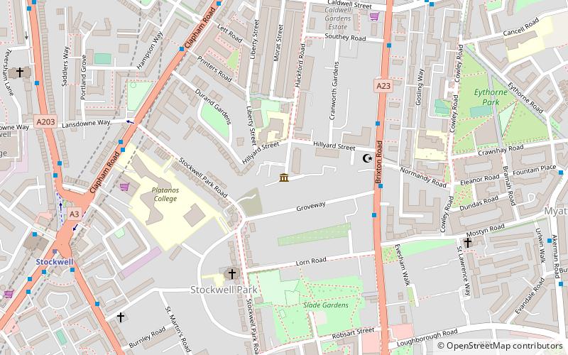
Map

Facts and practical information
Vauxhall Park is a Green Flag Award-winning municipal park in Vauxhall, South London, run by Lambeth Council. It occupies an 8.5-acre site, and was created at a cost of around £45,000, following a public campaign led by the suffragist Millicent Fawcett, the social reformer Octavia Hill and members of the Kyrle Society. The land was purchased from a local developer under the Vauxhall Park Act 1888. and the houses of Lawn Terrace demolished accordingly. The new park was formally opened in 1890 by the Prince of Wales. ()
Elevation: 33 ft a.s.l.Coordinates: 51°28'59"N, 0°7'19"W
Address
Lambeth (Oval)London
ContactAdd
Social media
Add
Day trips
Vauxhall Park – popular in the area (distance from the attraction)
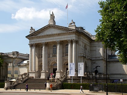
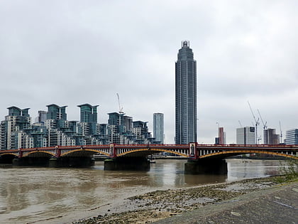
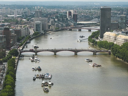
Nearby attractions include: Tate Britain, The Oval, Vauxhall Bridge, Lambeth Bridge.
Frequently Asked Questions (FAQ)
Which popular attractions are close to Vauxhall Park?
Nearby attractions include Bonnington Square, London (3 min walk), Above the Stag Theatre, London (4 min walk), Riverside, London (6 min walk), SIS Building, London (7 min walk).
How to get to Vauxhall Park by public transport?
The nearest stations to Vauxhall Park:
Bus
Train
Metro
Ferry
Bus
- Harleyford Road / Durham Street • Lines: 185, 36, 436, N136 (5 min walk)
- Vauxhall Bus Station (6 min walk)
Train
- Vauxhall (6 min walk)
- Wandsworth Road (30 min walk)
Metro
- Vauxhall • Lines: Victoria (7 min walk)
- Nine Elms • Lines: Northern (10 min walk)
Ferry
- St. George Wharf • Lines: Rb2 (9 min walk)
- Millbank Millennium Pier • Lines: Rb2 (16 min walk)

 Tube
Tube