Castle Dykes Henge, Yorkshire Dales
Map

Map

Facts and practical information
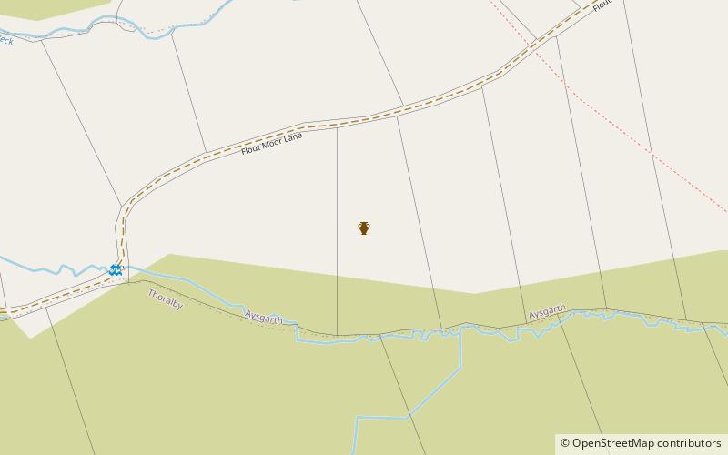
Castle Dykes Henge is a Class I Neolithic henge earthwork in the Yorkshire Dales National Park in North Yorkshire, England, situated between the villages of Aysgarth and Thornton Rust. It consists of a roughly circular bank approximately 87 yards in diameter with an internal ditch. ()
Coordinates: 54°16'53"N, 2°1'43"W
Address
Yorkshire Dales
ContactAdd
Social media
Add
Day trips
Castle Dykes Henge – popular in the area (distance from the attraction)
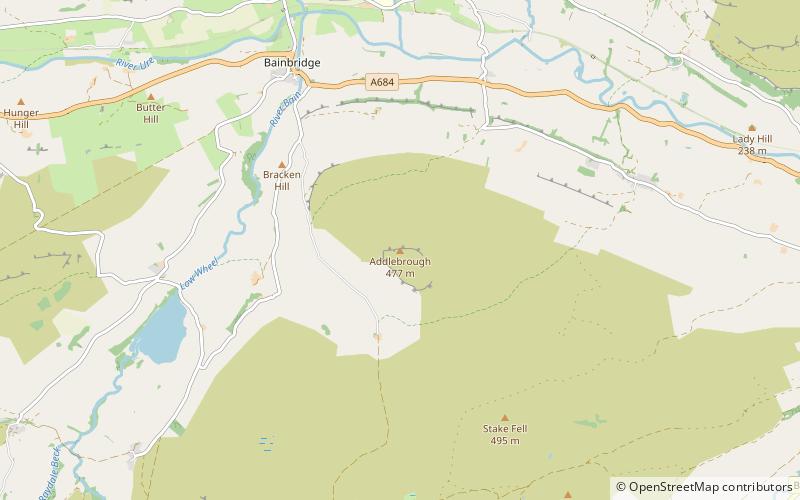
Nearby attractions include: Aysgarth Falls, Bolton Castle, Semerwater, Addlebrough.


