Buckden Pike, Yorkshire Dales National Park
Map

Gallery

Facts and practical information
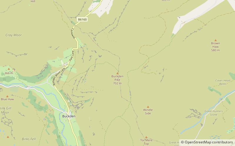
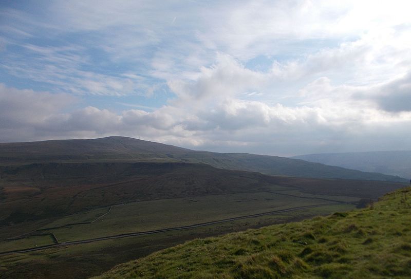
Buckden Pike is a fell at the head of Wharfedale, a valley in the Yorkshire Dales, that stands above the village of Buckden. At 702 metres, it narrowly misses out on being the highest peak in the area, the title instead going to nearby Great Whernside. The summit is marked by a trig point. ()
Elevation: 2303 ftProminence: 679 ftCoordinates: 54°12'17"N, 2°3'43"W
Address
Yorkshire Dales National Park
ContactAdd
Social media
Add
Day trips
Buckden Pike – popular in the area (distance from the attraction)
Nearby attractions include: Semerwater, Angram Reservoir, Great Whernside, St Matthew's Church.
Frequently Asked Questions (FAQ)
How to get to Buckden Pike by public transport?
The nearest stations to Buckden Pike:
Bus
Bus
- Buckden - National Park Car Park • Lines: 72A, 72B, 875 (37 min walk)


