Whitechapel Road, London
Map
Gallery
Facts and practical information
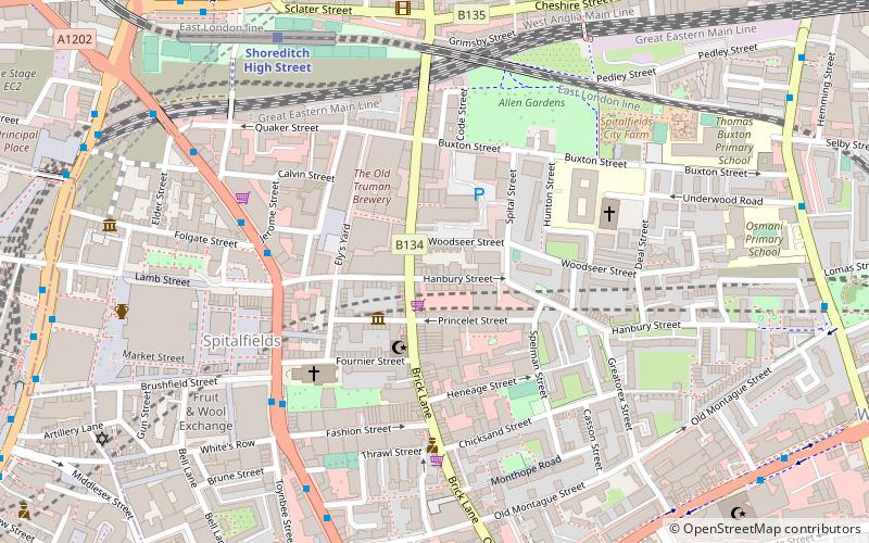
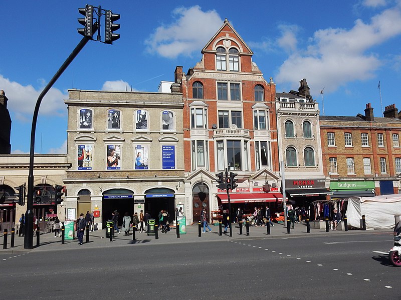
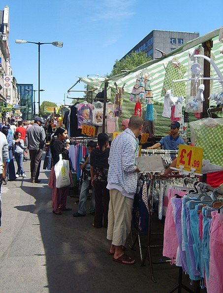
Whitechapel Road is a major arterial road in Whitechapel, Tower Hamlets, in the East End of London. It is named after a small chapel of ease dedicated to St Mary and connects Whitechapel High Street to the west with Mile End Road to the east. The road is part of the historic Roman road from London to Colchester, now the A11. ()
Address
Whitechapel RdTower Hamlets (Whitechapel)London E1
ContactAdd
Social media
Add
Day trips
Whitechapel Road – popular in the area (distance from the attraction)
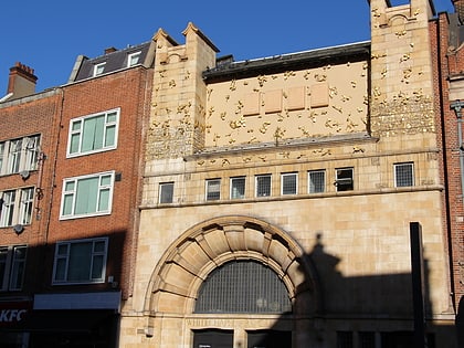
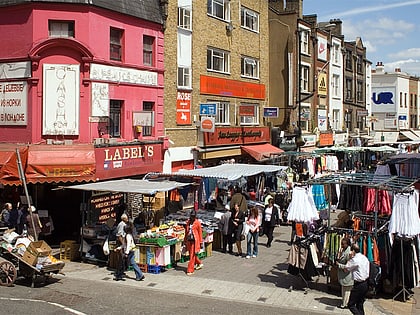
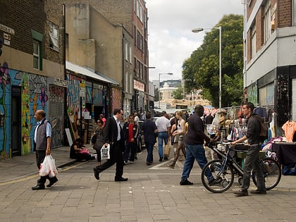
Nearby attractions include: Whitechapel Gallery, Old Spitalfields Market, Petticoat Lane Market, Brick Lane Market.
Frequently Asked Questions (FAQ)
Which popular attractions are close to Whitechapel Road?
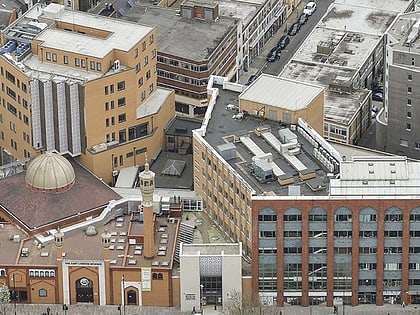
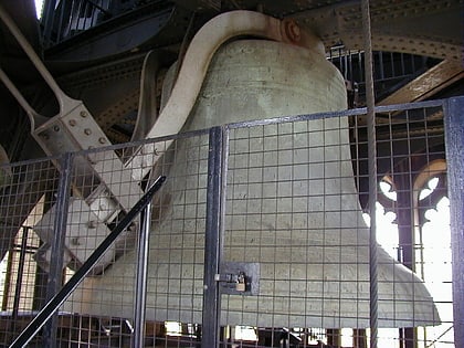
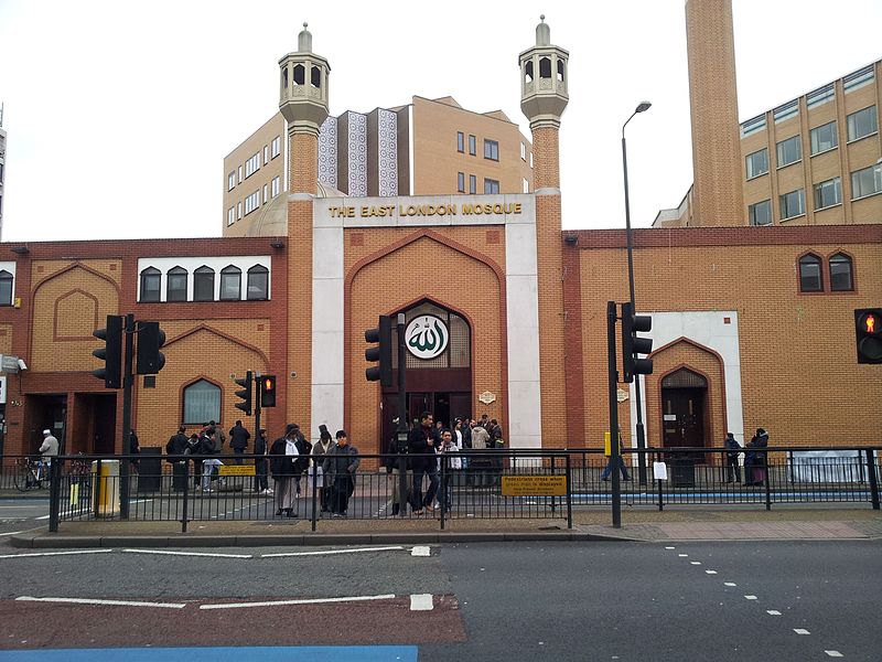
Nearby attractions include East London Mosque, London (3 min walk), Fieldgate Street Great Synagogue, London (4 min walk), Whitechapel Bell Foundry, London (5 min walk), East London Central Synagogue, London (7 min walk).
How to get to Whitechapel Road by public transport?
The nearest stations to Whitechapel Road:
Bus
Metro
Train
Light rail
Ferry
Bus
- The East London Mosque • Lines: 254, N253 (2 min walk)
- Whitechapel Station / Royal London Hospital • Lines: 254, N253 (5 min walk)
Metro
- Whitechapel • Lines: District, Hammersmith & City (4 min walk)
- Aldgate East • Lines: District, Hammersmith & City (10 min walk)
Train
- Bethnal Green (11 min walk)
- Shadwell (15 min walk)
Light rail
- Shadwell Platform 2 • Lines: B-L, B-Wa, Tg-B (15 min walk)
- Tower Gateway Platform 2 • Lines: Tg-B (18 min walk)
Ferry
- Saint Katharine's Pier • Lines: Blue Tour, Green Tour (25 min walk)
- Tower Millennium Pier • Lines: Rb1, Rb1X, Rb2, Red Tour (26 min walk)



 Tube
Tube