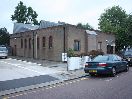
Brick Lane, London
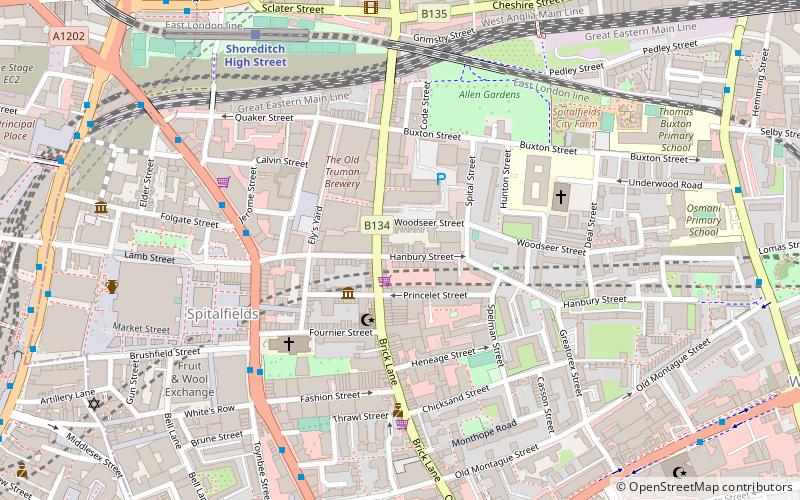
Map
Facts and practical information
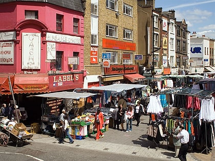
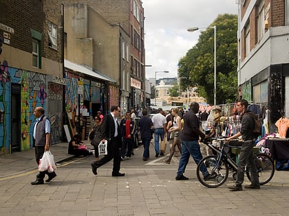
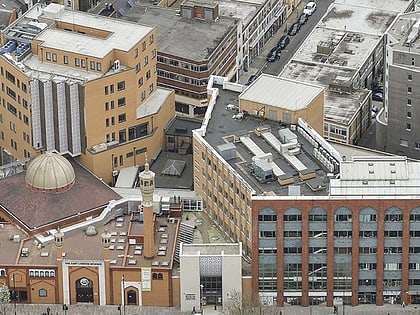
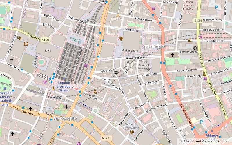
Brick Lane is a street in the East End of London, in the borough of Tower Hamlets. It runs from Swanfield Street in Bethnal Green in the north, crosses the Bethnal Green Road before reaching the busiest, most commercially active part which runs through Spitalfields, or along its eastern edge. Brick Lane’s southern end is connected to Whitechapel High Street by a short extension called Osborn Street. ()
Address
Tower Hamlets (Spitalfields and Banglatown)London
ContactAdd
Social media
Add
Day trips
Brick Lane – popular in the area (distance from the attraction)
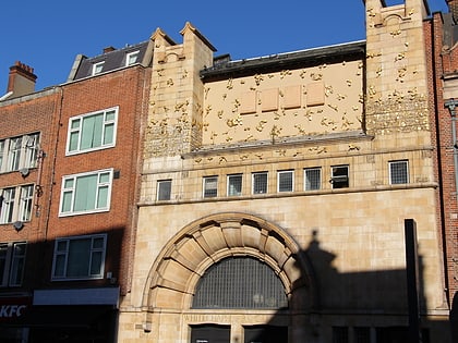
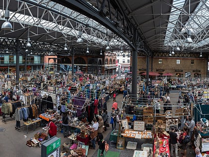
Nearby attractions include: Whitechapel Gallery, Old Spitalfields Market, Petticoat Lane Market, Brick Lane Market.
Frequently Asked Questions (FAQ)
Which popular attractions are close to Brick Lane?
Nearby attractions include Old Truman Brewery, London (2 min walk), Museum of Immigration and Diversity, London (2 min walk), Whitechapel Gallery, London (4 min walk), Old Spitalfields Market, London (5 min walk).
How to get to Brick Lane by public transport?
The nearest stations to Brick Lane:
Bus
Train
Metro
Light rail
Ferry
Bus
- Folgate Street • Lines: 242 (4 min walk)
- Brushfield Street • Lines: 242 (5 min walk)
Train
- Shoreditch High Street (7 min walk)
- Bethnal Green (15 min walk)
Metro
- Aldgate East • Lines: District, Hammersmith & City (9 min walk)
- Whitechapel • Lines: District, Hammersmith & City (12 min walk)
Light rail
- Tower Gateway Platform 2 • Lines: Tg-B (18 min walk)
- Shadwell Platform 2 • Lines: B-L, B-Wa, Tg-B (23 min walk)
Ferry
- Tower Millennium Pier • Lines: Rb1, Rb1X, Rb2, Red Tour (25 min walk)
- Saint Katharine's Pier • Lines: Blue Tour, Green Tour (26 min walk)
 Tube
Tube