Oxford Ice Rink, Oxford
Map
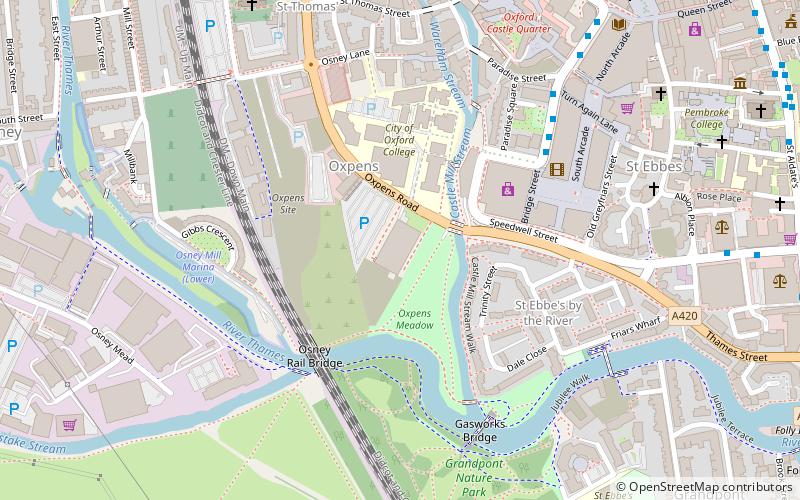
Map

Facts and practical information
Oxford Ice Rink is a 56 × 26m ice rink located on Oxpens Road in Oxford, England. It is a ten-minute walk from Oxford city centre and railway station. ()
Coordinates: 51°44'55"N, 1°15'55"W
Day trips
Oxford Ice Rink – popular in the area (distance from the attraction)
Nearby attractions include: Westgate, Oxford Castle, Osney Mill Marina, Park End Street.
Frequently Asked Questions (FAQ)
Which popular attractions are close to Oxford Ice Rink?
Nearby attractions include Oxpens Road, Oxford (3 min walk), Gasworks Bridge, Oxford (5 min walk), Osney Rail Bridge, Oxford (5 min walk), Paradise Street, Oxford (6 min walk).
How to get to Oxford Ice Rink by public transport?
The nearest stations to Oxford Ice Rink:
Bus
Train
Bus
- Castle Street stop E1 • Lines: 3A (5 min walk)
- County Hall • Lines: 4, 4A, 4B, 4C (8 min walk)
Train
- Oxford (11 min walk)


