Trinity Buoy Wharf, London
Map
Gallery
Facts and practical information
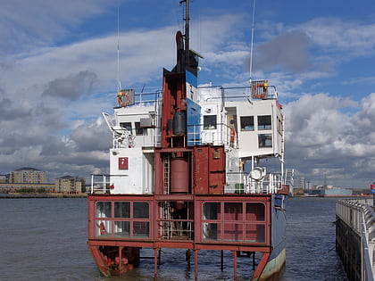
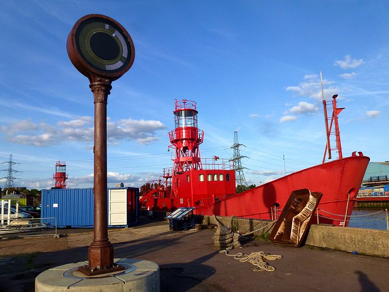
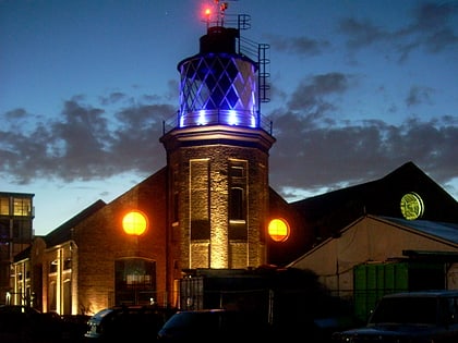
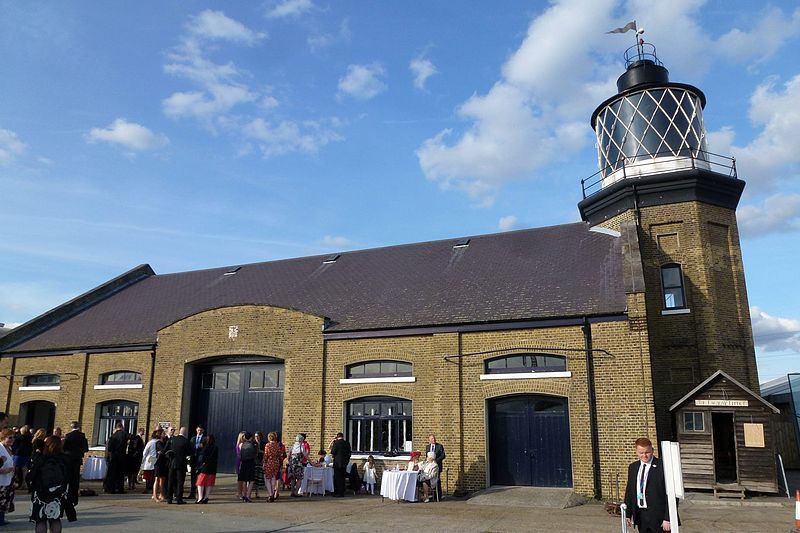
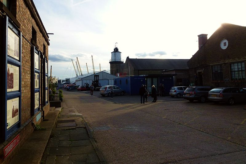
Trinity Buoy Wharf is the site of a lighthouse, by the confluence of the River Thames and Bow Creek on the Leamouth Peninsula, Poplar. It lies within the London Borough of Tower Hamlets. The lighthouse no longer functions, but is the home of various art projects such as Longplayer. It is sometimes known as Bow Creek Lighthouse. ()
Day trips
Trinity Buoy Wharf – popular in the area (distance from the attraction)
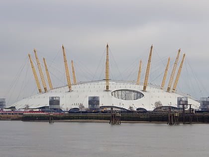
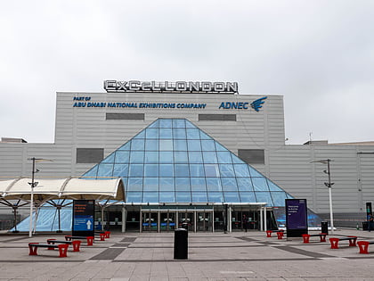
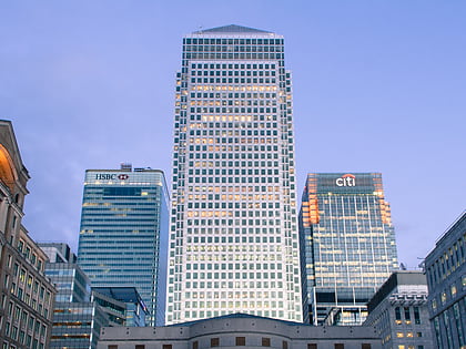
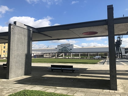
Nearby attractions include: The O2, ExCeL London, One Canada Square, Royal Victoria Square.
Frequently Asked Questions (FAQ)
Which popular attractions are close to Trinity Buoy Wharf?
Nearby attractions include East India Dock Basin, London (6 min walk), Bow Creek Ecology Park, London (10 min walk), The O2, London (11 min walk), Quantum Cloud, London (11 min walk).
How to get to Trinity Buoy Wharf by public transport?
The nearest stations to Trinity Buoy Wharf:
Bus
Ferry
Light rail
Metro
Train
Bus
- Leamouth / Orchard Place • Lines: D3 (6 min walk)
- Canning Town Bus Station • Lines: 309, Z2 (12 min walk)
Ferry
- North Greenwich Pier • Lines: Rb1, Rb1X, Rb5 (10 min walk)
- Royal Wharf • Lines: Rb1, Rb5 (26 min walk)
Light rail
- Royal Victoria Platform 2 • Lines: Tg-B (11 min walk)
- Canning Town Platform 3 • Lines: B-Wa, Tg-B (11 min walk)
Metro
- Canning Town • Lines: Jubilee (11 min walk)
- North Greenwich • Lines: Jubilee (13 min walk)
Train
- Canning Town (12 min walk)


 Tube
Tube