Royal Victoria Square, London
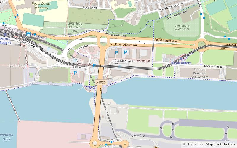
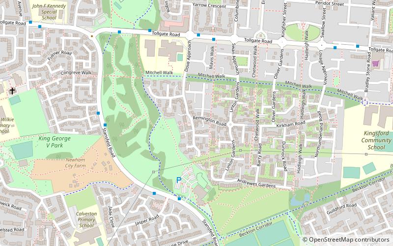
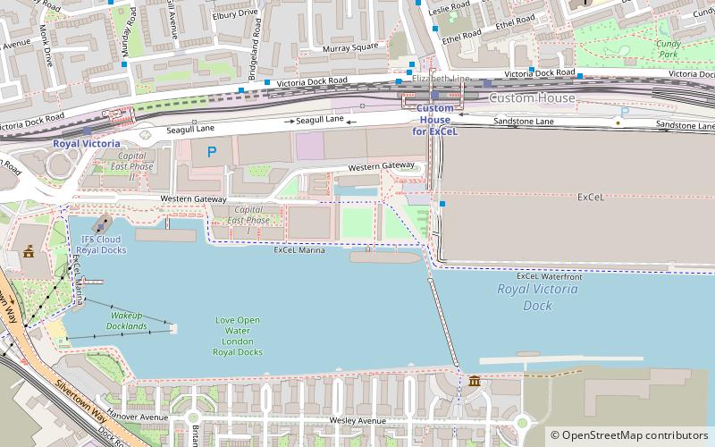
Map
Gallery

Facts and practical information
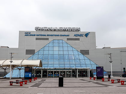
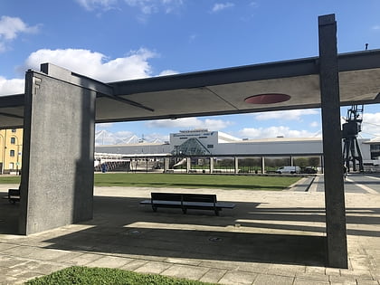
Royal Victoria Square is a square adjoining the ExCel Exhibition Centre in Royal Victoria Dock in the Docklands area of East London. It was designed by Patel Taylor Architects and engineered by Aspen Burrow Crocker. ()
Elevation: 16 ft a.s.l.Coordinates: 51°30'28"N, 0°1'27"E
Address
Newham (Canning Town South)London
ContactAdd
Social media
Add
Day trips
Royal Victoria Square – popular in the area (distance from the attraction)
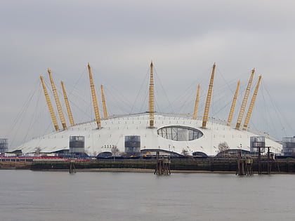
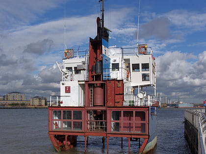
Nearby attractions include: The O2, ExCeL London, A Slice of Reality, London Regatta Centre.
Frequently Asked Questions (FAQ)
Which popular attractions are close to Royal Victoria Square?
Nearby attractions include Royal Victoria Dock Bridge, London (4 min walk), Silvertown Quays, London (13 min walk), Royal Wharf, London (15 min walk), Silvertown War Memorial, London (16 min walk).
How to get to Royal Victoria Square by public transport?
The nearest stations to Royal Victoria Square:
Light rail
Bus
Ferry
Metro
Train
Light rail
- Custom House for ExCel Platform 4 • Lines: Tg-B (4 min walk)
- Royal Victoria Platform 2 • Lines: Tg-B (8 min walk)
Bus
- West Silvertown Station • Lines: 474 (9 min walk)
- Prince Regent Bus Station (13 min walk)
Ferry
- Royal Wharf • Lines: Rb1, Rb5 (18 min walk)
- North Greenwich Pier • Lines: Rb1, Rb1X, Rb5 (19 min walk)
Metro
- Canning Town • Lines: Jubilee (21 min walk)
- North Greenwich • Lines: Jubilee (25 min walk)
Train
- Canning Town (21 min walk)
 Tube
Tube