Macclesfield Cricket Club Ground, Macclesfield
Map
Gallery

Facts and practical information
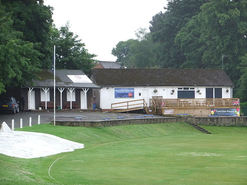
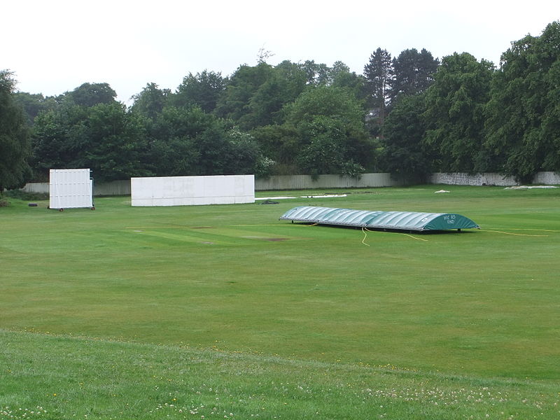
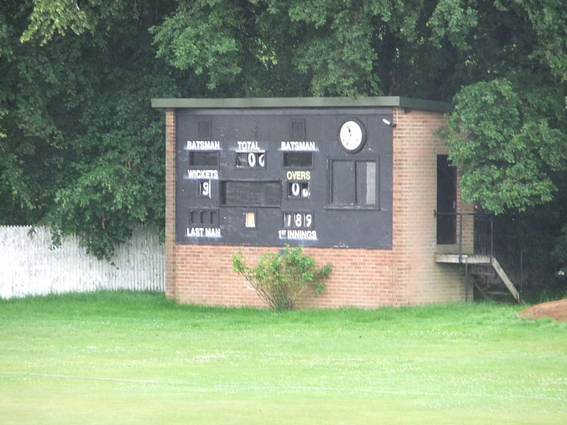
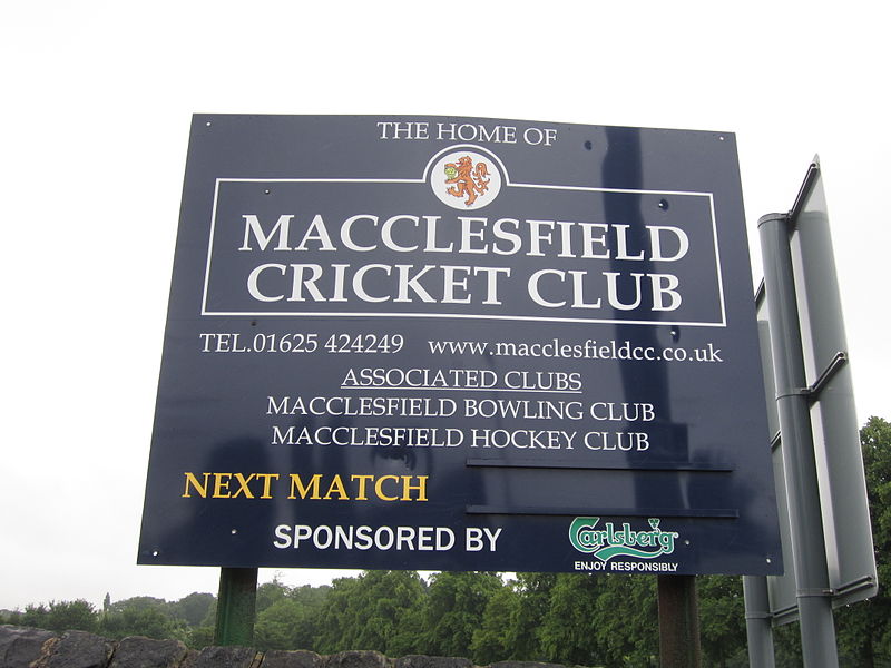
Macclesfield Cricket Club Ground is a cricket ground in Victoria Road, Macclesfield, Cheshire, England. A small ground, it is bordered to the east by Macclesfield District General Hospital and to the south and west by housing. The ground is used by Macclesfield Cricket Club. Field hockey and lawn bowls are also played at the ground. ()
Coordinates: 53°15'45"N, 2°8'45"W
Address
Macclesfield
ContactAdd
Social media
Add
Day trips
Macclesfield Cricket Club Ground – popular in the area (distance from the attraction)
Nearby attractions include: Middlewood Way, Macclesfield Town Hall, Macclesfield Sunday School, St Michael's Church.
Frequently Asked Questions (FAQ)
Which popular attractions are close to Macclesfield Cricket Club Ground?
Nearby attractions include St Alban's RC Church, Macclesfield (6 min walk), Macclesfield Cemetery, Macclesfield (11 min walk), St Alban's Church, Macclesfield (14 min walk), Christ Church, Macclesfield (18 min walk).
How to get to Macclesfield Cricket Club Ground by public transport?
The nearest stations to Macclesfield Cricket Club Ground:
Bus
Train
Bus
- Macclesfield, Churchill Way / corner King Edward Street • Lines: 391, 392 (19 min walk)
Train
- Macclesfield (26 min walk)


