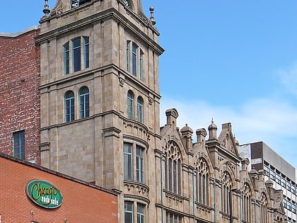
3 Hardman Street, Manchester
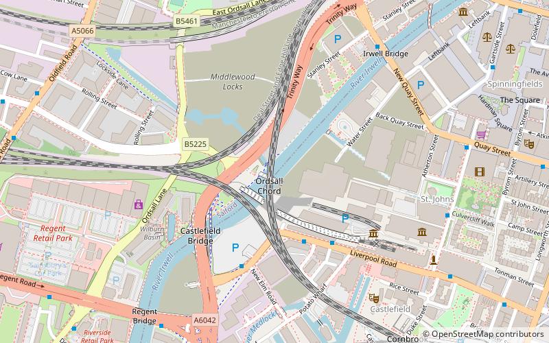
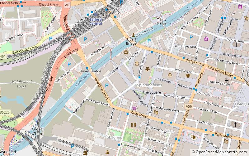
Map
Map

Facts and practical information
3 Hardman Street is a 16-storey high-rise building in Spinningfields, Manchester, England. At 75 metres, it is currently the third-tallest building in the Spinningfields area and the twenty-third-tallest building in Manchester. ()
Completed: 2009 (17 years ago)Floors: 16Coordinates: 53°28'49"N, 2°15'13"W
Day trips
3 Hardman Street – popular in the area (distance from the attraction)
Nearby attractions include: Deansgate, King Street, Museum of Science and Industry, Quay Street.
Frequently Asked Questions (FAQ)
Which popular attractions are close to 3 Hardman Street?
Nearby attractions include County Court, Manchester (2 min walk), Spinningfields, Manchester (2 min walk), People's History Museum, Manchester (3 min walk), Granada Studios, Manchester (3 min walk).
How to get to 3 Hardman Street by public transport?
The nearest stations to 3 Hardman Street:
Bus
Train
Tram
Bus
- Gartside Street/Manchester Crown Court • Lines: 1, 2 (2 min walk)
- Lower Byrom Street/Quay Street • Lines: 2 (peak) (3 min walk)
Train
- Salford Central (5 min walk)
- Deansgate (12 min walk)
Tram
- Deansgate-Castlefield • Lines: Airp, Altr, Asht, Bury, Dean, Eccl, EDid, Mcuk, Picc, Roch, Shaw, Vict (11 min walk)
- St. Peter's Square • Lines: Airp, Altr, Asht, Bury, Eccl, EDid, Mcuk, Picc, Roch, Shaw, Vict (12 min walk)

 Metrolink
 Metrolink / Rail
