South Tyneside College, South Tyneside
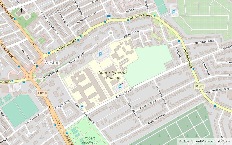
Map
Facts and practical information
South Tyneside College is a large further education college in South Tyneside in North East England. Its main site is in the town of South Shields. The college offers part-time and full-time courses for young students and adults. It was formed in 1984 by the merger of Hebburn Technical College and the Marine and Technical College, the latter founded in 1861 by a trust created by Dr Thomas Winterbottom, a former surgeon-general in Sierra Leone. ()
Coordinates: 54°59'13"N, 1°25'3"W
Getting there by public transportation
Public transportation stops near this location
- Bus
- Light rail
 Bus
Bus
- Calculate routeChichester 15 min walk
- Calculate routeSouth Shields 25 min walk
- Calculate routeTyne Dock 31 min walk
- Calculate routeSouth Shields Interchange 24 min walk
- Calculate routeSouth Shields Transport Interchange 25 min walk
- Calculate routeSouth Shields Town Centre 26 min walk
- Calculate routeNorth Shields Ferry 41 min walk
Day trips


Frequently Asked Questions (FAQ)
Which popular attractions are close to South Tyneside College?
Nearby attractions include South Shields Town Hall, South Tyneside (19 min walk), St Hilda's Church, South Tyneside (24 min walk).
How to get to South Tyneside College by public transport?
The nearest stations to South Tyneside College:
Light rail
Bus
Light rail
- Chichester • Lines: Yellow (15 min walk)
- South Shields • Lines: Yellow (25 min walk)
Bus
- South Shields Interchange (24 min walk)
- South Shields Transport Interchange (25 min walk)