Stratford-upon-Avon Canal
Map
Gallery
Facts and practical information
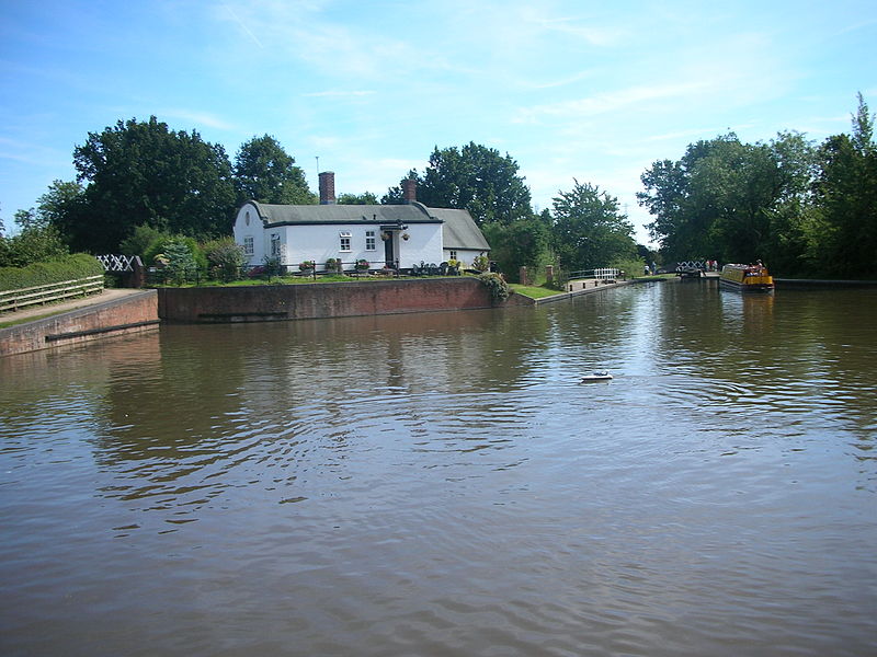
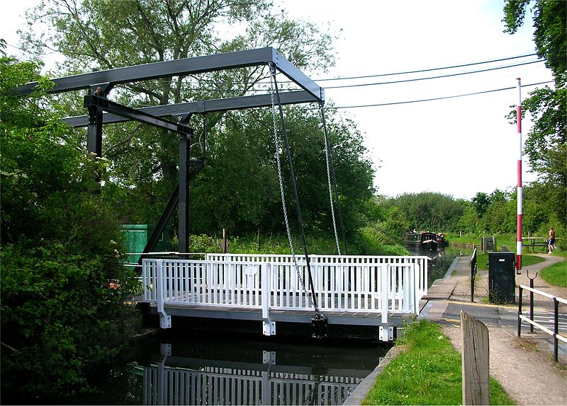
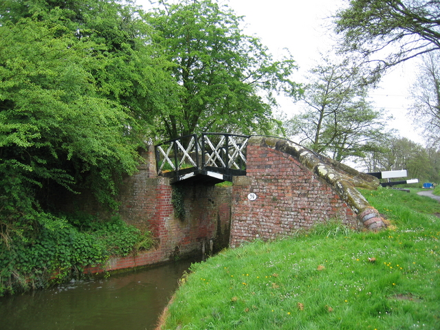
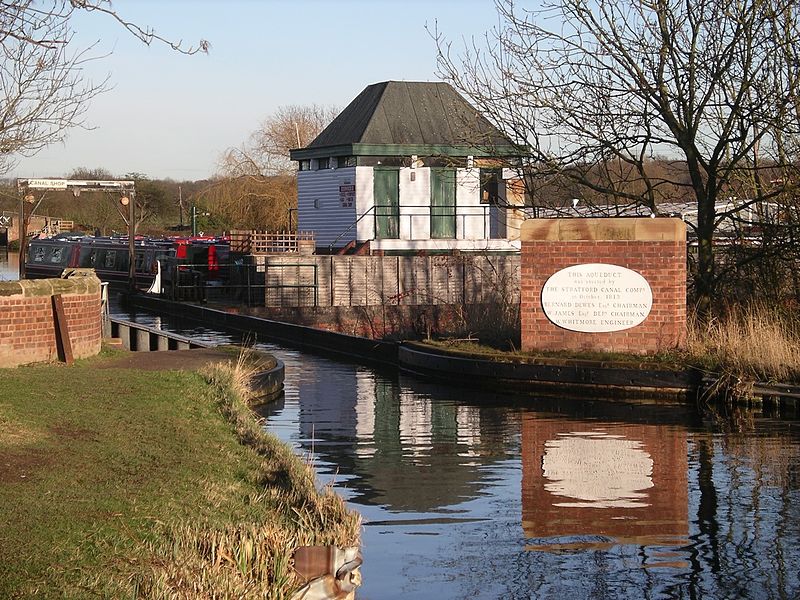
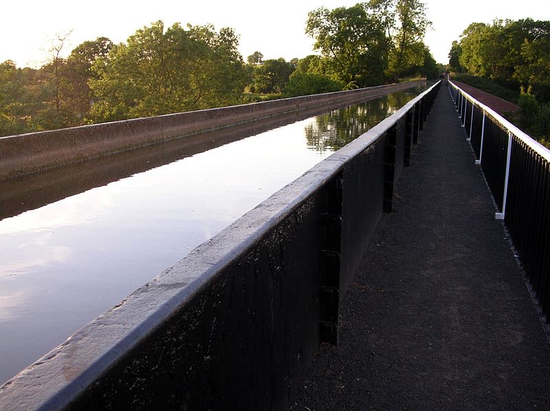
The Stratford-upon-Avon Canal is a canal in the south Midlands of England. The canal, which was built between 1793 and 1816, runs for 25.5 miles in total, and consists of two sections. The dividing line is at Kingswood Junction, which gives access to the Grand Union Canal. Following acquisition by a railway company in 1856, it gradually declined, the southern section being un-navigable by 1945, and the northern section little better. ()
Coordinates: 52°17'40"N, 1°43'56"W
Location
England
ContactAdd
Social media
Add
Day trips
Stratford-upon-Avon Canal – popular in the area (distance from the attraction)
Nearby attractions include: Packwood House, Baddesley Clinton, Mary Arden's Farm, Saltisford Canal Arm.


