Donnington Bridge, Oxford
Map
Gallery
Facts and practical information
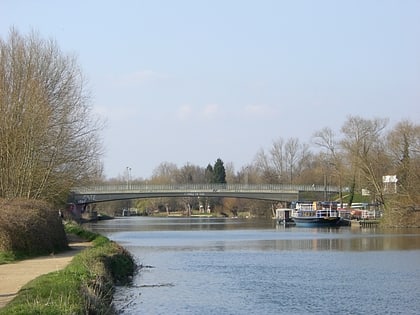
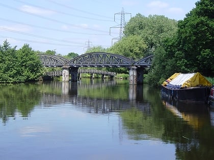
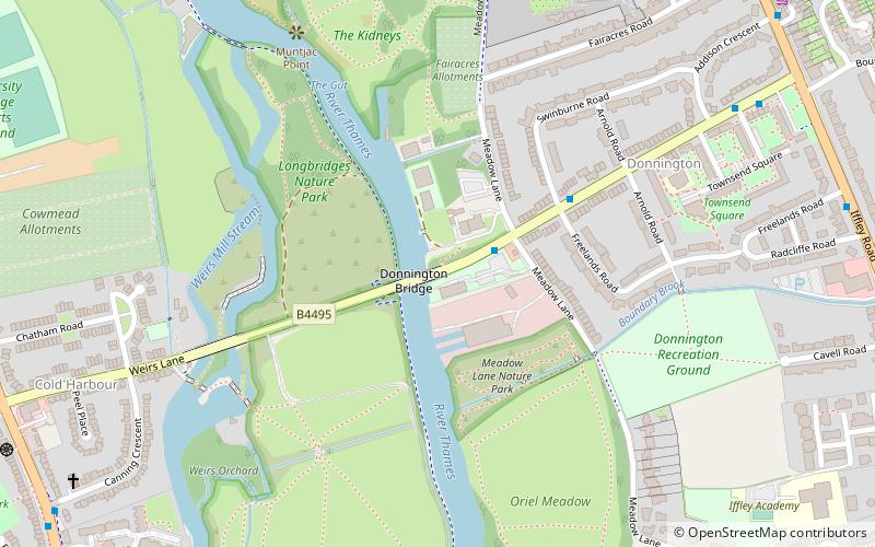
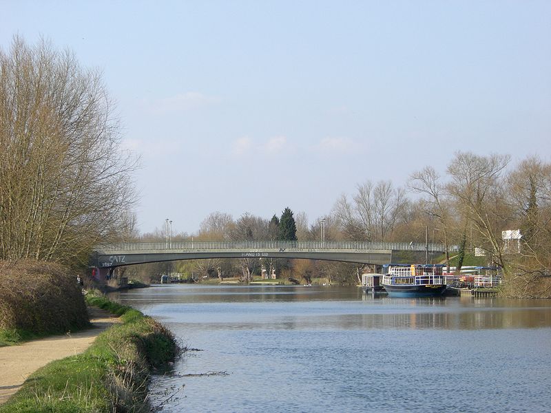
Donnington Bridge is a modern road bridge over the River Thames, in the south of the city of Oxford, England. At this point the river is commonly called the Isis. The bridge carries the B4495 road from Abingdon Road to Iffley Road. It crosses the river on the reach between Iffley Lock and Osney Lock. ()
Opened: 1962 (64 years ago)Width: 56 ftHeight: 16 ftCoordinates: 51°44'9"N, 1°14'30"W
Address
Donnington Bridge Rd.Iffley FieldsOxford OX 4 4
ContactAdd
Social media
Add
Day trips
Donnington Bridge – popular in the area (distance from the attraction)
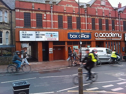
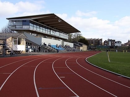
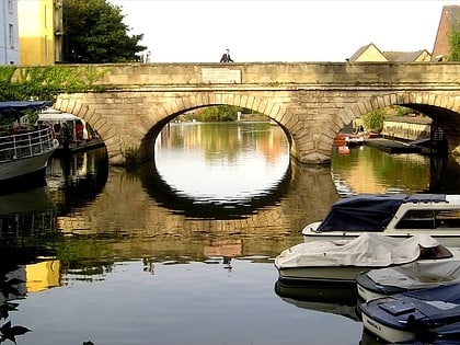
Nearby attractions include: O2 Academy Oxford, Roger Bannister running track, Ultimate Picture Palace, Folly Bridge.
Frequently Asked Questions (FAQ)
Which popular attractions are close to Donnington Bridge?
Nearby attractions include New Hinksey, Oxford (13 min walk), Iffley Lock, Oxford (13 min walk), St. Mary the Virgin Church, Oxford (16 min walk), Oxfordshire and Buckinghamshire Light Infantry War Memorial, Oxford (16 min walk).
How to get to Donnington Bridge by public transport?
The nearest stations to Donnington Bridge:
Bus
Bus
- Freelands Road • Lines: 3A (9 min walk)
- Howard Street • Lines: 3A (10 min walk)
