Abingdon & Witney College, Abingdon
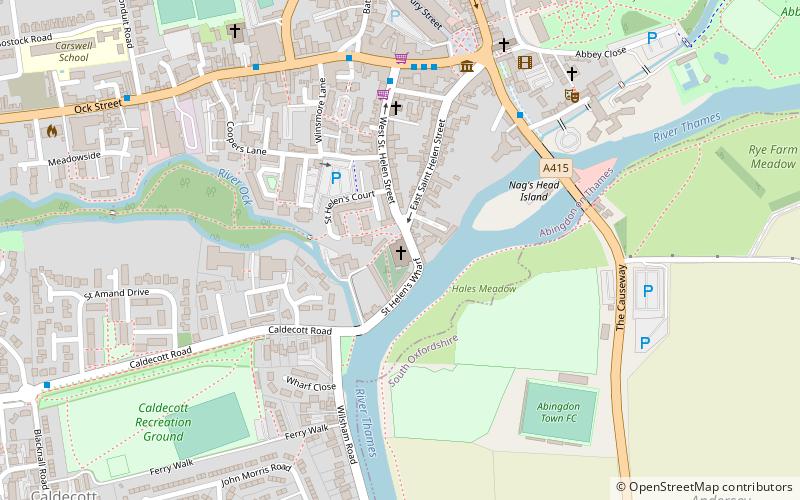
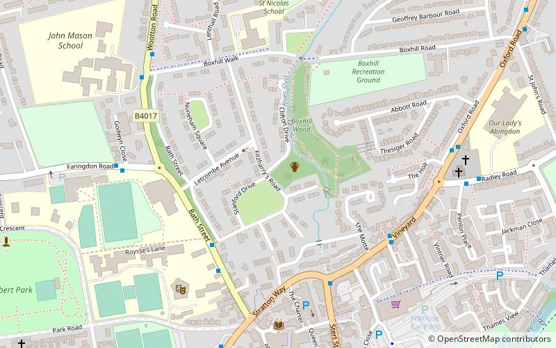
Map
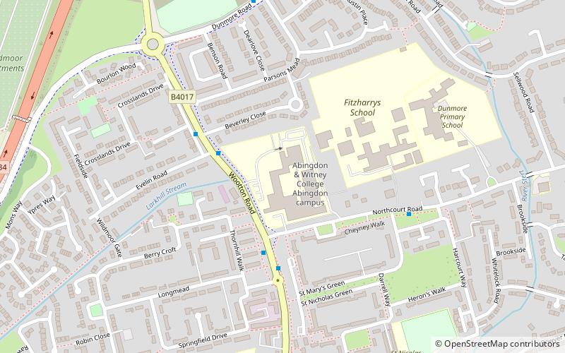
Map

Facts and practical information
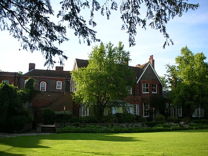
Abingdon & Witney College is a further education provider established in April 2001 after the merger of Abingdon College and West Oxfordshire College. It has four campuses: Abingdon, Witney, Common Leys Farm and a new Construction Skills Centre in Bicester. ()
Coordinates: 51°40'52"N, 1°17'14"W
Day trips
Abingdon & Witney College – popular in the area (distance from the attraction)
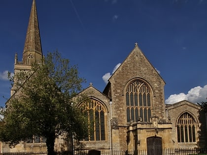
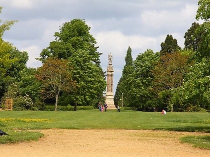
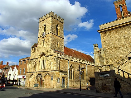
Nearby attractions include: Abingdon County Hall Museum, St Helen's Church, Albert Park, St Nicolas Church.
Frequently Asked Questions (FAQ)
Which popular attractions are close to Abingdon & Witney College?
Nearby attractions include FitzHarris Castle, Abingdon (13 min walk), Albert Park, Abingdon (17 min walk), Kimber House - MG Car Club, Abingdon (20 min walk), St Nicolas Church, Abingdon (21 min walk).
How to get to Abingdon & Witney College by public transport?
The nearest stations to Abingdon & Witney College:
Bus
Bus
- Stratton Way • Lines: 33 (18 min walk)


