Holt Fleet Bridge

Gallery (1)
Map
Map
Facts and practical information
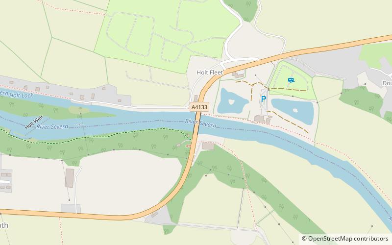
Holt Fleet Bridge, also known as Holt Bridge, is a cast-iron arch bridge over the River Severn, at Holt in Worcestershire, England. It has a span of 150 feet; it was designed by Thomas Telford and opened in 1828. It is Grade II listed, and is similar to Telford's Galton Bridge, which is a Grade I listed structure that spans his BCN New Main Line canal at Smethwick. ()
Coordinates: 52°16'6"N, 2°15'32"W
Location
England
ContactAdd
Social media
Add
Day trips