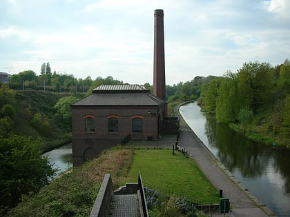
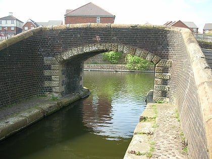
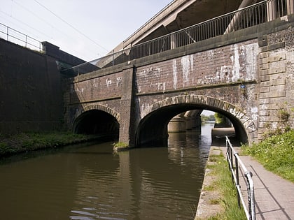
Galton Bridge, Birmingham
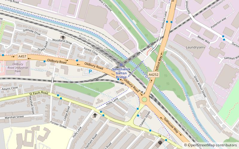
Map
Gallery
Facts and practical information
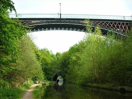
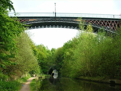
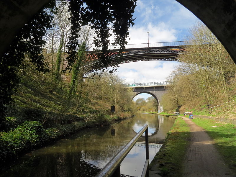
Galton Bridge is a canal bridge in Smethwick, West Midlands, England built by Thomas Telford in 1829. It spans Telford's Birmingham Canal Navigations New Main Line carrying Roebuck Lane. It has a single span of 150 feet. Originally a road bridge it is now restricted to pedestrians. It is a Grade I listed building, and lends its name to the adjacent Smethwick Galton Bridge railway station. ()
Coordinates: 52°30'6"N, 1°58'50"W
Address
Sandwell (St. Pauls)Birmingham
ContactAdd
Social media
Add
Day trips
Galton Bridge – popular in the area (distance from the attraction)
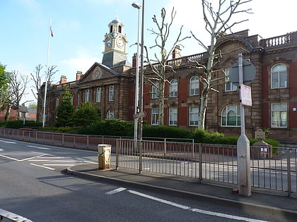
Nearby attractions include: The Hawthorns, The Public, Smethwick Council House, Summit Bridge.
Frequently Asked Questions (FAQ)
Which popular attractions are close to Galton Bridge?
Nearby attractions include Summit Bridge (4 min walk), Galton Valley Canal Heritage Centre, Birmingham (11 min walk), Guru Nanak Gurdwara Smethwick, Birmingham (15 min walk), Smethwick, Birmingham (15 min walk).
How to get to Galton Bridge by public transport?
The nearest stations to Galton Bridge:
Train
Tram
Bus
Train
- Smethwick Galton Bridge (1 min walk)
- Smethwick Rolfe Street (15 min walk)
Tram
- Kenrick Park • Lines: 1 (13 min walk)
- The Hawthorns • Lines: 1 (19 min walk)
Bus
- Rolfe St / Rolfe St Station • Lines: Sb (14 min walk)
- F • Lines: 43, 43A (32 min walk)
