Smethwick, Birmingham
Gallery (8)
Map


Map

Gallery
Facts and practical information
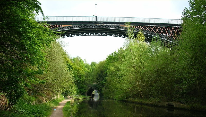
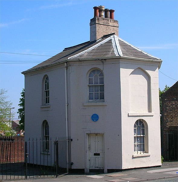
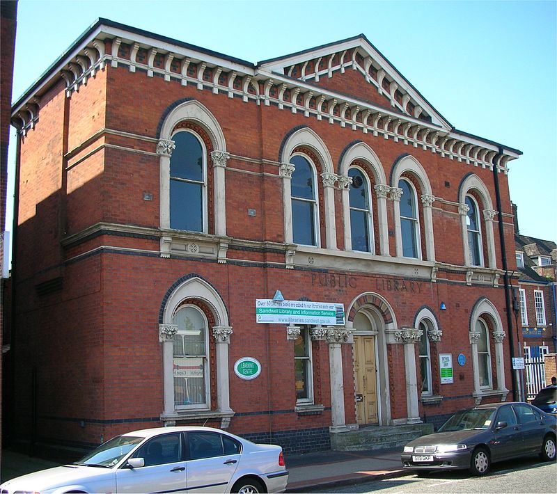
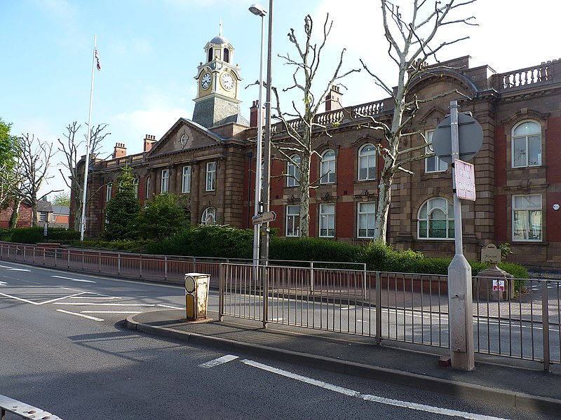
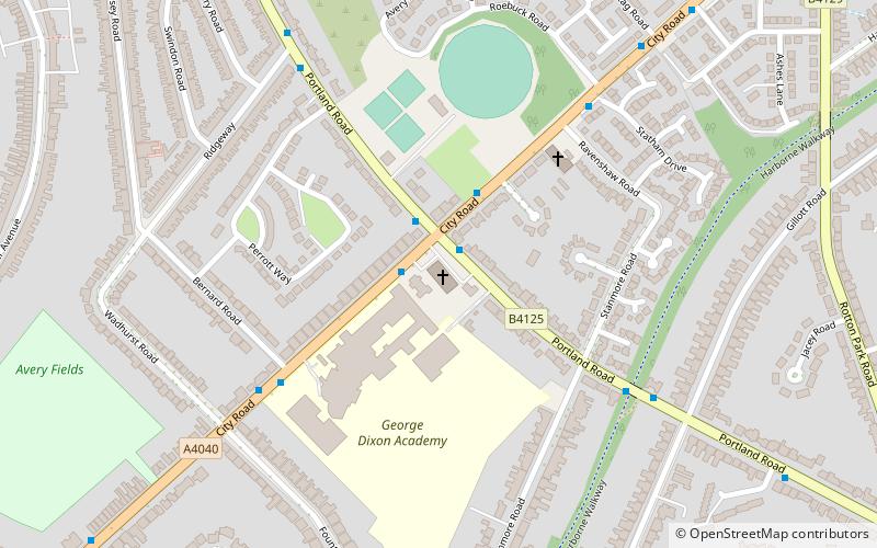
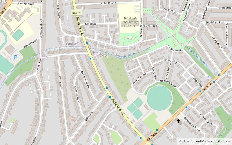
Smethwick is an industrial town in Sandwell, West Midlands, England, historically in Staffordshire. It lies four miles west of Birmingham city centre, and borders West Bromwich and Oldbury to the north and west. Formerly a Staffordshire county borough, Smethwick is situated near the edge of Sandwell metropolitan borough and borders the Birmingham districts of Handsworth, Winson Green, Harborne, Edgbaston and Quinton to the south and east, as well as the Black Country towns of West Bromwich and Oldbury in the north and west. ()
Address
Sandwell (Smethwick)Birmingham
ContactAdd
Social media
Add
Getting there by public transportation
Public transportation stops near this location
- Bus
- Tram
- Train
 Bus
Bus
- Calculate routeRolfe St / Rolfe St Station 1 min walk
- Calculate routeSmethwick Rolfe Street 2 min walk
- Calculate routeSmethwick Galton Bridge 15 min walk
- Calculate routeThe Hawthorns 19 min walk
- Calculate routeThe Hawthorns 19 min walk
- Calculate routeHandsworth, Booth Street 23 min walk
- Calculate routeKenrick Park 26 min walk
- Calculate routeTrinity Way 34 min walk
Day trips


Frequently Asked Questions (FAQ)
Which popular attractions are close to Smethwick?
Nearby attractions include Guru Nanak Gurdwara Smethwick, Birmingham (1 min walk), Galton Valley Canal Heritage Centre, Birmingham (6 min walk), Engine Arm Aqueduct, Birmingham (7 min walk), Smethwick Council House (10 min walk).
How to get to Smethwick by public transport?
The nearest stations to Smethwick:
Bus
Train
Tram
Bus
- Rolfe St / Rolfe St Station • Lines: Sb (1 min walk)
Train
- Smethwick Rolfe Street (2 min walk)
- Smethwick Galton Bridge (15 min walk)
Tram
- The Hawthorns • Lines: 1 (19 min walk)
- Handsworth, Booth Street • Lines: 1 (23 min walk)