Highfield Stadium, Sheffield
Map
Facts and practical information
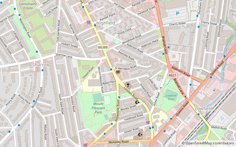
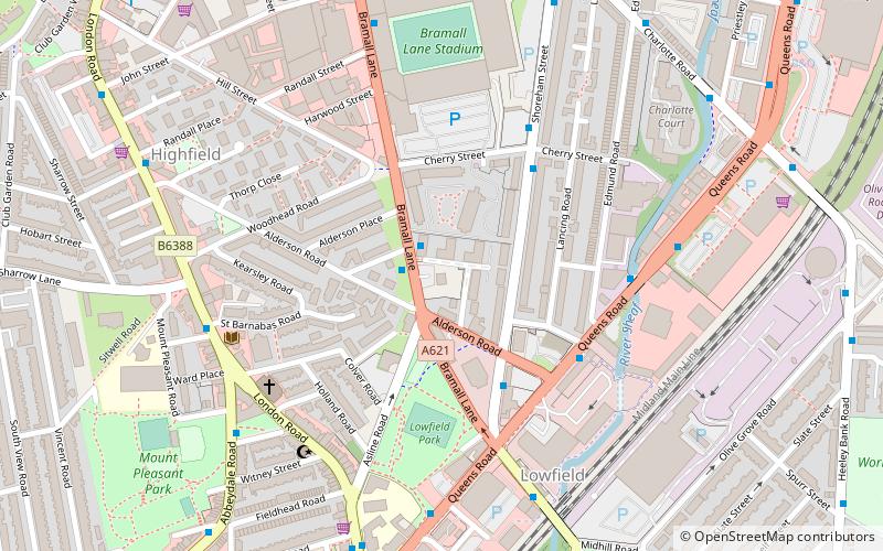
Highfield is a former home ground of The Wednesday Football Club and was located on London Road near to the centre of Sheffield, South Yorkshire, England. The club started to use the ground when they formed in 1867 and continued to use the ground until moving to Myrtle Road in 1870. ()
Coordinates: 53°22'0"N, 1°28'29"W
Address
London RoadCentral SheffieldSheffield
ContactAdd
Social media
Add
Getting there by public transportation
Public transportation stops near this location
- Bus
- Tram
- Train
 Bus
Bus
- Calculate routeLondon Road/Sitwell Place 1 min walk
- Calculate routeLondon Road/Highfield Place 2 min walk
- Calculate routeAbbeydale Road/Batt Street 2 min walk
- Calculate routePark Grange Croft 19 min walk
- Calculate routeGranville Road / The Sheffield College 20 min walk
- Calculate routeSheffield Station / Sheffield Hallam University 25 min walk
- Calculate routeSheffield 25 min walk
Day trips


Frequently Asked Questions (FAQ)
Which popular attractions are close to Highfield Stadium?
Nearby attractions include Madina Mosque, Sheffield (6 min walk), Bramall Lane, Sheffield (8 min walk), Heeley City Farm, Sheffield (10 min walk), London Road, Sheffield (11 min walk).
How to get to Highfield Stadium by public transport?
The nearest stations to Highfield Stadium:
Bus
Tram
Train
Bus
- London Road/Sitwell Place • Lines: 20, 75, 76, 86, 97, 98 (1 min walk)
- London Road/Highfield Place • Lines: 20 (2 min walk)
Tram
- Park Grange Croft • Lines: Blue, Purp (19 min walk)
- Granville Road / The Sheffield College • Lines: Blue, Purp (20 min walk)
Train
- Sheffield (25 min walk)