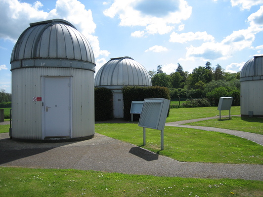
Bayfordbury

Gallery (2)
Map
Map
Gallery
Facts and practical information
Bayfordbury, Hertfordshire, is a large Grade II* listed country house with surrounding parkland, and the location of a University of Hertfordshire campus, housing its biology/geography field station and observatory. ()
Coordinates: 51°46'39"N, 0°5'40"W
Location
England
ContactAdd
Social media
Add
Day trips