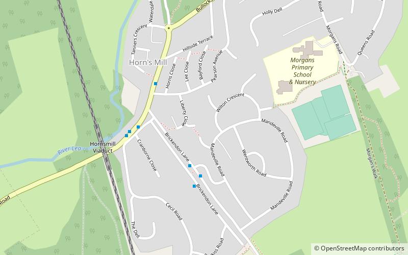
Horns Mill, Hertford
Map
Facts and practical information
Horns Mill is an area and suburb of south Hertford, Hertfordshire. ()
Coordinates: 51°47'10"N, 0°5'2"W
Address
Hertford
ContactAdd
Social media
Add
Getting there by public transportation
Public transportation stops near this location
- Bus
- Train
 Bus
Bus
- Calculate routeCounty Hospital 21 min walk
- Calculate routeBus Station 23 min walk
- Calculate routeHertford Bus Station 23 min walk
- Calculate routeHertford North 25 min walk
- Calculate routeHertford East 27 min walk
Day trips


Frequently Asked Questions (FAQ)
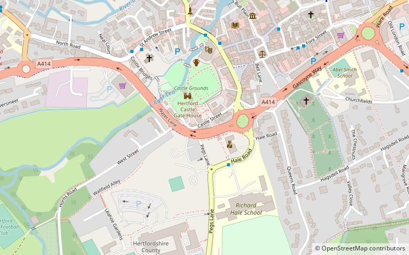
Which popular attractions are close to Horns Mill?
Nearby attractions include County Hall, Hertford (9 min walk), Willowmead, Hertford (17 min walk), All Saints' Church, Hertford (19 min walk), St Andrew Street, Hertford (20 min walk).
How to get to Horns Mill by public transport?
The nearest stations to Horns Mill:
Bus
Train
Bus
- County Hospital • Lines: 724 (21 min walk)
- Bus Station • Lines: 10, 724 (23 min walk)
Train
- Hertford North (25 min walk)
- Hertford East (27 min walk)