Leather Lane, London
Map
Gallery
Facts and practical information
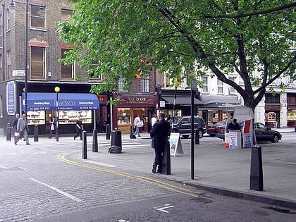
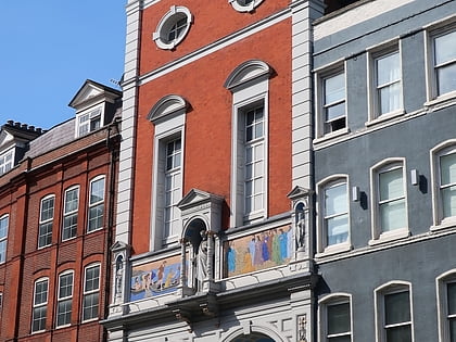
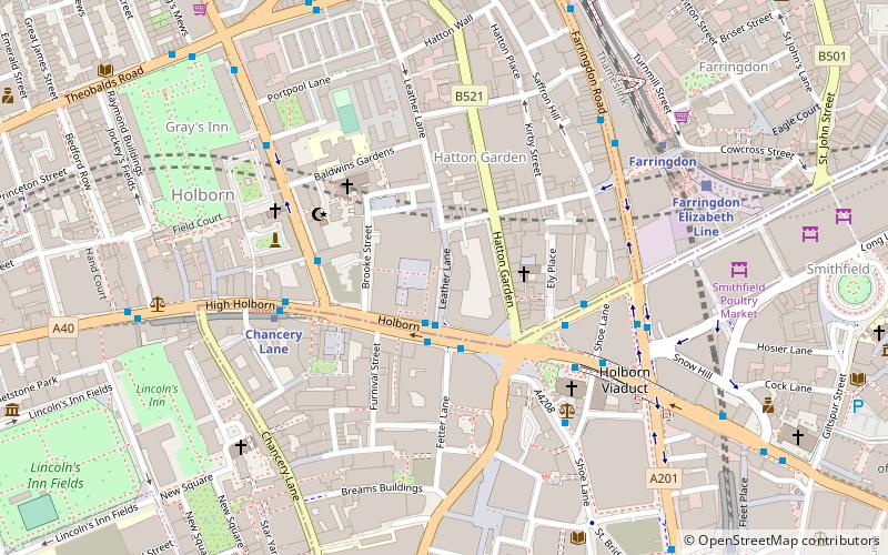
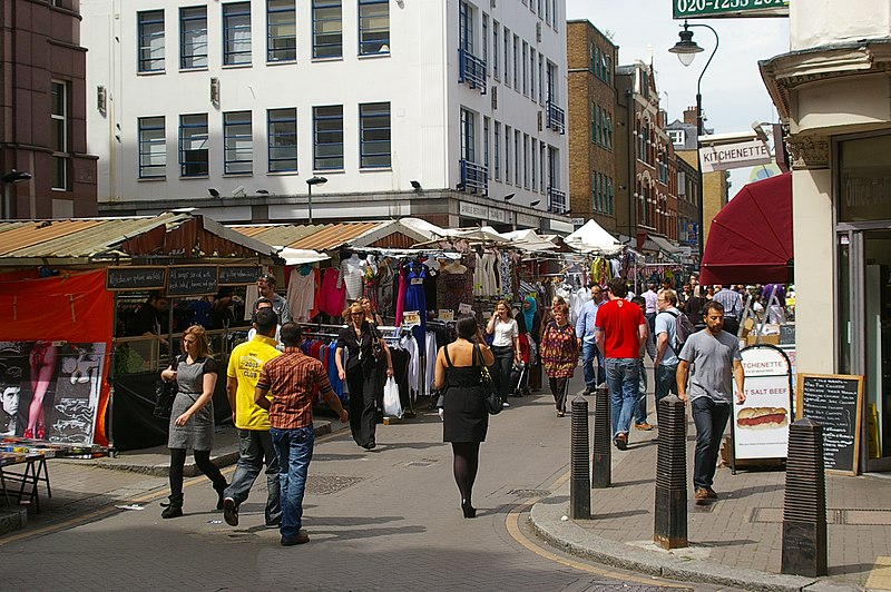
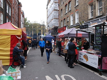
Leather Lane is a street west of Hatton Garden, in the Holborn area of London. It is home to a well-used weekday market which specialises in clothing, footwear and fruit and vegetables. There are now many food retailers capitalising off the lunchtime trade offering a range of different foods from falafel wraps and burritos to hog roasts and jacket potatoes. ()
Coordinates: 51°31'7"N, 0°6'33"W
Address
Leather Ln, EC1NCamden (Holborn and Covent Garden)London
ContactAdd
Social media
Add
Day trips
Leather Lane – popular in the area (distance from the attraction)
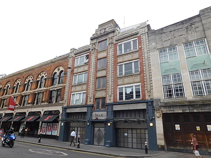
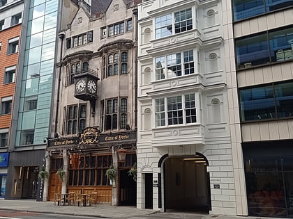
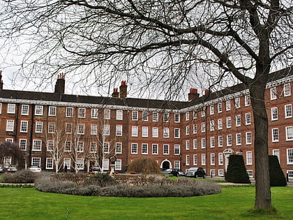
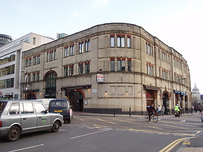
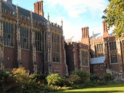
Nearby attractions include: Fabric, Hatton Garden, Cittie of Yorke, Gray's Inn.
Frequently Asked Questions (FAQ)
Which popular attractions are close to Leather Lane?
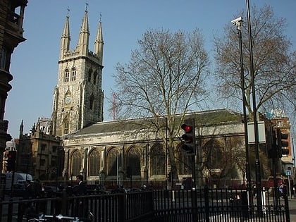
Nearby attractions include Holborn Bars, London (1 min walk), Holborn Circus, London (2 min walk), Royal Fusiliers War Memorial, London (3 min walk), Hatton Garden, London (3 min walk).
How to get to Leather Lane by public transport?
The nearest stations to Leather Lane:
Bus
Metro
Train
Ferry
Light rail
Bus
- Holborn Circus / Fetter Lane • Lines: N242 (2 min walk)
- Chancery Lane Station • Lines: N242 (4 min walk)
Metro
- Chancery Lane • Lines: Central (4 min walk)
- Farringdon • Lines: Circle, Hammersmith & City, Metropolitan (6 min walk)
Train
- City Thameslink (9 min walk)
- London Blackfriars (16 min walk)
Ferry
- Blackfriars Pier • Lines: Rb6 (17 min walk)
- Bankside Pier • Lines: Green Tour, Rb1, Rb1X, Rb2 (22 min walk)
Light rail
- Bank Platform 10 • Lines: B-L, B-Wa (26 min walk)
 Tube
Tube