Turnmills, London
Map
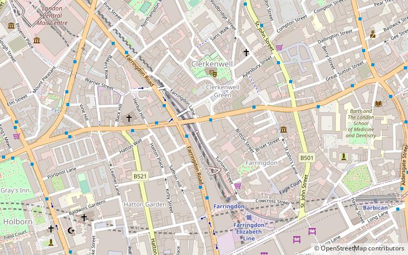
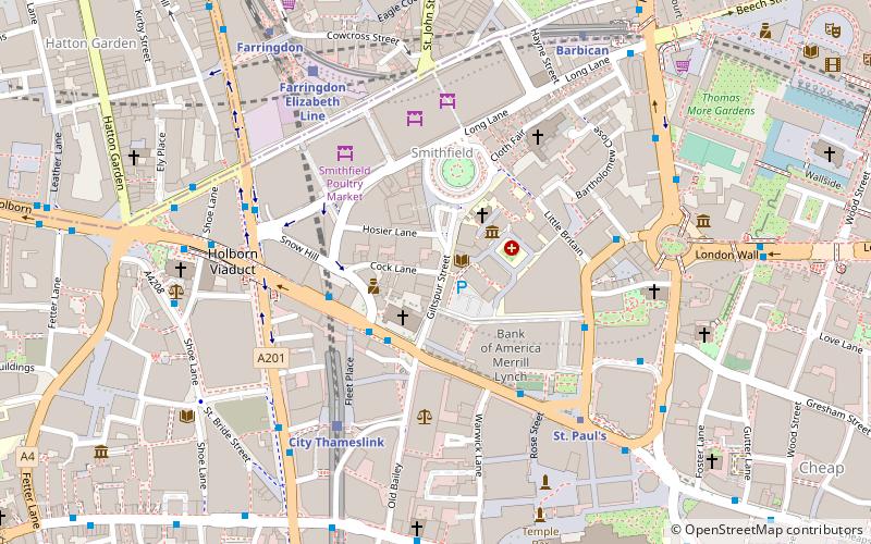
Map

Facts and practical information
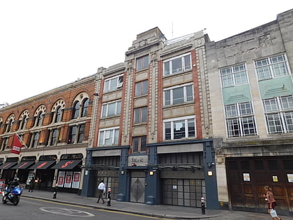
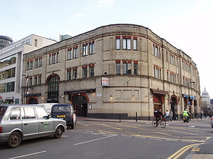
The Turnmills building was a warehouse originally on the corner of Turnmill Street and Clerkenwell Road in the London Borough of Islington. It became a bar in the 1980s, then a nightclub. The club closed in 2008 and the building was later demolished, replaced with an office building. ()
Coordinates: 51°31'19"N, 0°6'21"W
Address
Islington (Clerkenwell)London
Contact
+44 20 7250 3409
Social media
Add
Day trips
Turnmills – popular in the area (distance from the attraction)
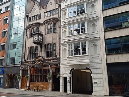
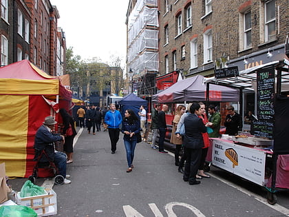
Nearby attractions include: Fabric, Hatton Garden, Cittie of Yorke, Leather Lane.
Frequently Asked Questions (FAQ)
Which popular attractions are close to Turnmills?
Nearby attractions include Clerkenwell Green, London (3 min walk), L-13 Light Industrial Workshop, London (3 min walk), Clerkenwell, London (3 min walk), Farringdon, London (4 min walk).
How to get to Turnmills by public transport?
The nearest stations to Turnmills:
Bus
Metro
Train
Ferry
Light rail
Bus
- Clerkenwell Green • Lines: 55, N55 (1 min walk)
- Farringdon Road • Lines: 55, N55 (3 min walk)
Metro
- Farringdon • Lines: Circle, Hammersmith & City, Metropolitan (3 min walk)
- Barbican • Lines: Circle, Hammersmith & City, Metropolitan (9 min walk)
Train
- City Thameslink (13 min walk)
- London Blackfriars (21 min walk)
Ferry
- Blackfriars Pier • Lines: Rb6 (21 min walk)
- Bankside Pier • Lines: Green Tour, Rb1, Rb1X, Rb2 (26 min walk)
Light rail
- Bank Platform 10 • Lines: B-L, B-Wa (27 min walk)
 Tube
Tube