Cittie of Yorke, London
Map

Gallery
Facts and practical information
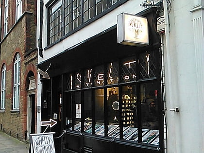
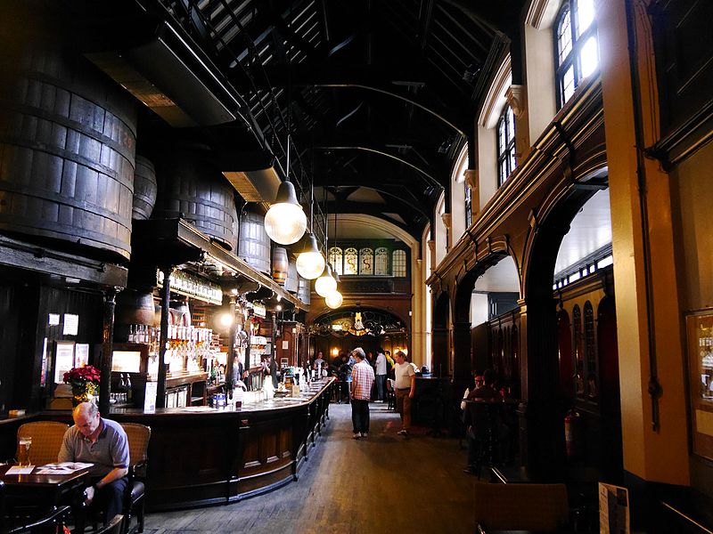
The Cittie of Yorke is a grade II listed public house on London's High Holborn, and is listed in CAMRA's National Inventory of Historic Pub Interiors. The pub is owned and operated by Samuel Smith's Old Brewery. ()
Coordinates: 51°31'7"N, 0°6'46"W
Address
22 High Holborn, WC1V 6BSCamden (Holborn and Covent Garden)London
Contact
+44 20 7242 7670
Social media
Add
Day trips
Cittie of Yorke – popular in the area (distance from the attraction)
Nearby attractions include: Hatton Garden, Leather Lane, Gray's Inn, Sir John Soane's Museum.
Frequently Asked Questions (FAQ)
Which popular attractions are close to Cittie of Yorke?
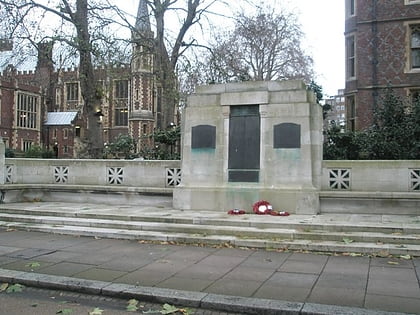
Nearby attractions include Royal Fusiliers War Memorial, London (3 min walk), Gray's Inn, London (3 min walk), Lincoln's Inn, London (4 min walk), Lincoln's Inn Chapel, London (4 min walk).
How to get to Cittie of Yorke by public transport?
The nearest stations to Cittie of Yorke:
Bus
Metro
Train
Ferry
Light rail
Bus
- Chancery Lane Station • Lines: N242 (1 min walk)
- Brownlow Street • Lines: N242 (3 min walk)
Metro
- Chancery Lane • Lines: Central (1 min walk)
- Holborn • Lines: Central, Piccadilly (9 min walk)
Train
- City Thameslink (12 min walk)
- London Blackfriars (18 min walk)
Ferry
- Blackfriars Pier • Lines: Rb6 (20 min walk)
- Festival Pier • Lines: Green Tour (21 min walk)
Light rail
- Bank Platform 10 • Lines: B-L, B-Wa (30 min walk)
 Tube
Tube