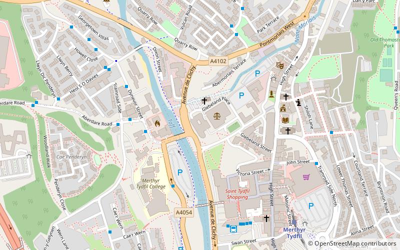
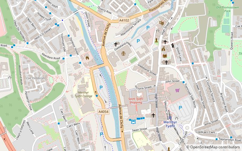
Merthyr Tydfil College, Merthyr Tydfil
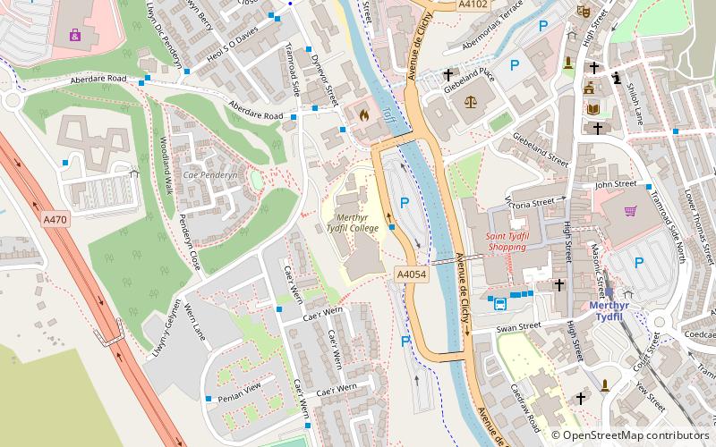
Map
Facts and practical information
Merthyr Tydfil College is a further education college located in Merthyr Tydfil, Wales. From May 2006 to April 2013, it was a constituent college of the University of Glamorgan and thereafter, a college of the University of South Wales. ()
Coordinates: 51°44'44"N, 3°23'0"W
Getting there by public transportation
Public transportation stops near this location
- Bus
- Train
 Bus
Bus
- Calculate routeMerthyr Tydfil College 1 min walk
- Calculate routeMerthyr Bus Station Stand 1 4 min walk
- Calculate routeMerthyr Bus Station Stand 6 5 min walk
- Calculate routeMerthyr Tydfil Bus Station 5 min walk
- Calculate routeMerthyr Tydfil 7 min walk
Day trips


Frequently Asked Questions (FAQ)
Which popular attractions are close to Merthyr Tydfil College?
Nearby attractions include Ynysgau Chapel, Merthyr Tydfil (4 min walk), Old Iron Bridge, Merthyr Tydfil (4 min walk), Merthyr Tydfil Town Hall, Merthyr Tydfil (7 min walk), Glamorganshire Canal, Merthyr Tydfil (8 min walk).
How to get to Merthyr Tydfil College by public transport?
The nearest stations to Merthyr Tydfil College:
Bus
Train
Bus
- Merthyr Tydfil College • Lines: Me27-1, Me27-3, Me27-4 (1 min walk)
- Merthyr Bus Station Stand 1 • Lines: Me27-1, Me27-2 (4 min walk)
Train
- Merthyr Tydfil (7 min walk)