Wandle Trail, London
Map

Gallery

Facts and practical information
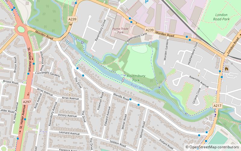
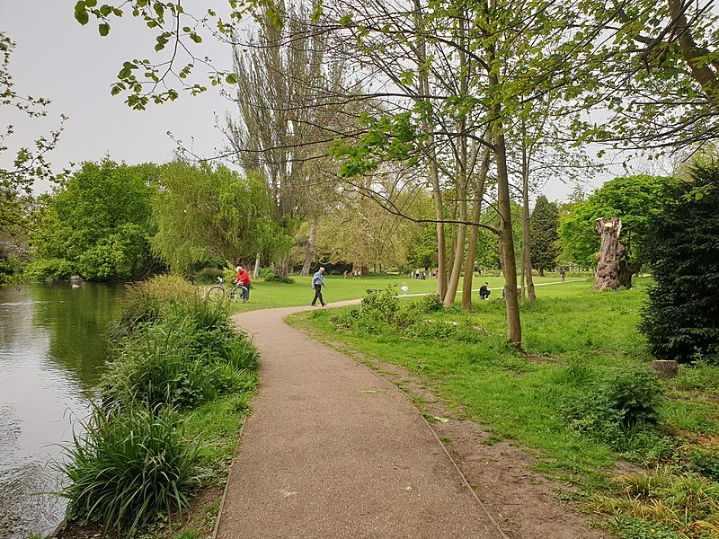
The Wandle Trail is a 12.5-mile walking and cycling trail that follows the River Wandle from Croydon to Wandsworth in south-west London ()
Coordinates: 51°23'49"N, 0°10'49"W
Day trips
Wandle Trail – popular in the area (distance from the attraction)
Nearby attractions include: Baitul Futuh Mosque, Merton Civic Centre, Figges Marsh, Morden Hall Park.
Frequently Asked Questions (FAQ)
When is Wandle Trail open?
Wandle Trail is open:
- Monday 24h
- Tuesday 24h
- Wednesday 24h
- Thursday 24h
- Friday 24h
- Saturday 24h
- Sunday 24h
Which popular attractions are close to Wandle Trail?
Nearby attractions include Ravensbury Park, London (2 min walk), Morden Hall Park, London (14 min walk), Mitcham Vestry Hall, London (17 min walk), Merton Civic Centre, London (19 min walk).
How to get to Wandle Trail by public transport?
The nearest stations to Wandle Trail:
Bus
Tram
Metro
Train
Bus
- Milner Road • Lines: 118, N133 (3 min walk)
- The Drive • Lines: 118, N133 (4 min walk)
Tram
- Belgrave Walk • Lines: 2, 4 (8 min walk)
- Mitcham • Lines: 2, 4 (11 min walk)
Metro
- Morden • Lines: Northern (19 min walk)
Train
- Morden South (21 min walk)
- St. Helier (25 min walk)

 Tube
Tube


