Morden Park, London
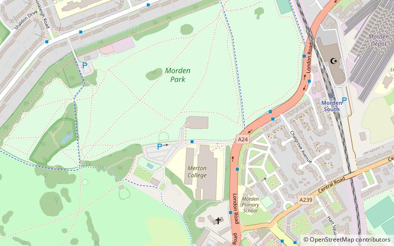
Map
Facts and practical information
Morden Park is an area within the district of Morden in the London Borough of Merton, and includes the Park itself, an area of green space in an otherwise dense cluster of 1930s suburban housing. ()
Elevation: 112 ft a.s.l.Coordinates: 51°23'42"N, 0°12'18"W
Address
Merton (Cannon Hill)London
ContactAdd
Social media
Add
Getting there by public transportation
Public transportation stops near this location
- Metro
- Bus
- Tram
- Train
 Metro
Metro
- Calculate routeChalgrove Avenue 4 min walk
- Calculate routeSouth Thames College 4 min walk
- Calculate routeMorden South Station 6 min walk
- Calculate routeAshridge Way 7 min walk
- Calculate routeMorden South 7 min walk
- Calculate routeSt. Helier 12 min walk
- Calculate routeSouth Merton 15 min walk
- Calculate routeWimbledon Chase 29 min walk
- Calculate routeMorden 18 min walk
- Calculate routeMorden Road 28 min walk
- Calculate routePhipps Bridge 30 min walk
- Calculate routeBelgrave Walk 32 min walk
Maps Tube
Tube
TubeDay trips


Frequently Asked Questions (FAQ)
Which popular attractions are close to Morden Park?
Nearby attractions include Baitul Futuh Mosque, London (8 min walk), Cherry Wood, London (12 min walk), Merton Civic Centre, London (16 min walk), Morden Baptist Church, London (16 min walk).
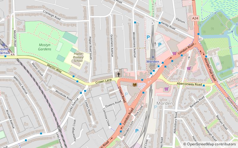
How to get to Morden Park by public transport?
The nearest stations to Morden Park:
Bus
Train
Metro
Tram
Bus
- Chalgrove Avenue • Lines: 154, 80, 93 (4 min walk)
- South Thames College • Lines: 154, 80, 93 (4 min walk)
Train
- Morden South (7 min walk)
- St. Helier (12 min walk)
Metro
- Morden • Lines: Northern (18 min walk)
Tram
- Morden Road • Lines: 2, 4 (28 min walk)
- Phipps Bridge • Lines: 2, 4 (30 min walk)