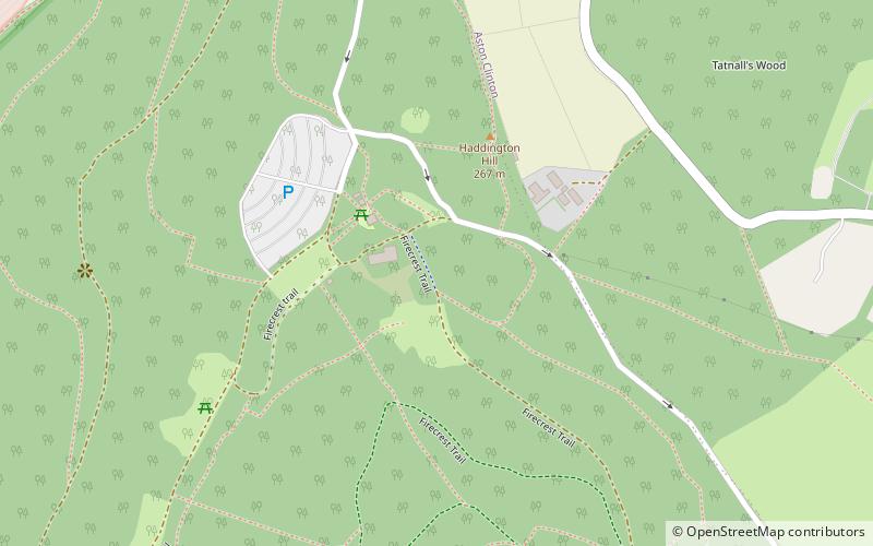
Wendover Woods, Wendover
Map

Map

Facts and practical information
Wendover Woods is an area of woodland on the north edge of the Chiltern Hills in England. Named after the nearby town of Wendover, the woods are part of the Public Forest Estate and are managed by Forestry England. ()
Elevation: 896 ft a.s.l.Coordinates: 51°46'18"N, 0°42'42"W
Day trips
Wendover Woods – popular in the area (distance from the attraction)
Nearby attractions include: Aston Clinton Ragpits, Haddington Hill, Aston Hill Mountain Bike Area, Trenchard Museum.
Frequently Asked Questions (FAQ)
Which popular attractions are close to Wendover Woods?
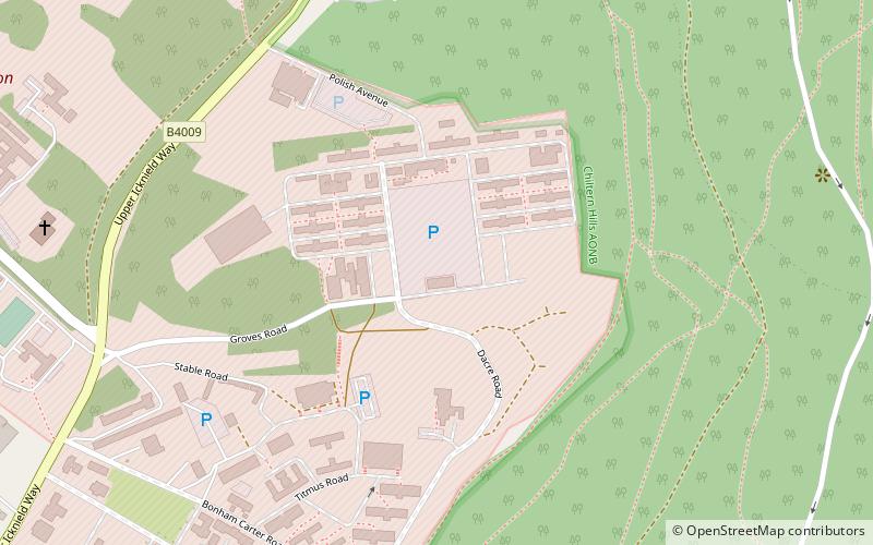
Nearby attractions include Trenchard Museum, Wendover (14 min walk), Dancersend, Chiltern Hills (17 min walk), Aston Hill Mountain Bike Area, Chiltern Hills (19 min walk).


