Dancersend, Chiltern Hills
Map

Map

Facts and practical information
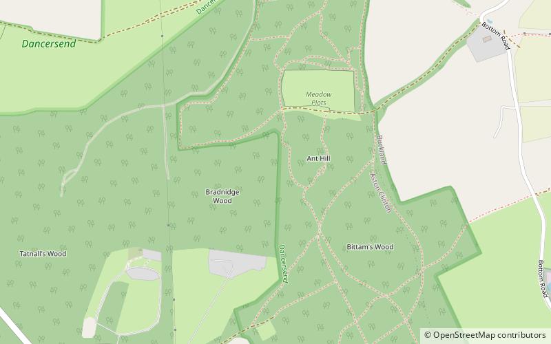
Dancersend is an 81.3 hectare Site of Special Scientific Interest south of Aston Clinton in Buckinghamshire. Part of the site is managed by the Forestry Commission and part by the Berkshire, Buckinghamshire and Oxfordshire Wildlife Trust. The BBOWT's 47 hectare nature reserve, called Dancersend with Pavis Woods, extends into fields west of the SSSI. It is in the Chilterns Areas of Outstanding Natural Beauty. ()
Elevation: 735 ft a.s.l.Coordinates: 51°46'33"N, 0°41'53"W
Day trips
Dancersend – popular in the area (distance from the attraction)
Nearby attractions include: Wendover Woods, Aston Clinton Ragpits, Haddington Hill, Pavis Wood.
Frequently Asked Questions (FAQ)
Which popular attractions are close to Dancersend?
Nearby attractions include Wendover Woods, Wendover (17 min walk), Pavis Wood, Chiltern Hills (20 min walk), Aston Hill Mountain Bike Area, Chiltern Hills (23 min walk).


