Haddington Hill
Map

Map

Facts and practical information
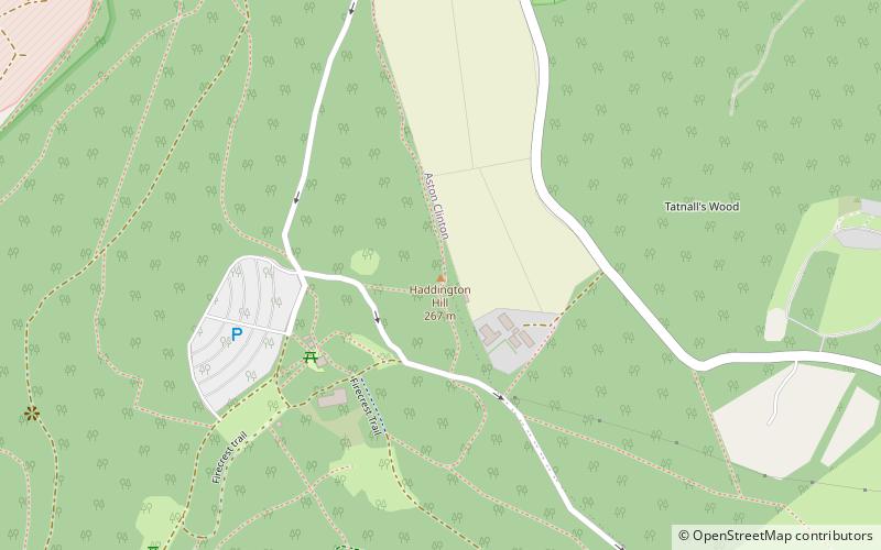
Haddington Hill is a hill in The Chilterns, and the highest point in the English county of Buckinghamshire. On the north-eastern flank is Coombe Hill, not to be confused with another Coombe Hill 4 kilometres to the south-west. ()
Elevation: 876 ftProminence: 591 ftCoordinates: 51°46'24"N, 0°42'38"W
Location
England
ContactAdd
Social media
Add
Day trips
Haddington Hill – popular in the area (distance from the attraction)
Nearby attractions include: Wendover Woods, Aston Clinton Ragpits, Aston Hill Mountain Bike Area, Trenchard Museum.


