Wilsden, Bradford

Gallery (1)
Map
Map
Facts and practical information
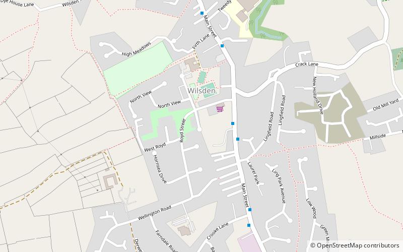
Wilsden is a village and civil parish in west Bradford, in West Yorkshire, England. Wilsden is 6 miles west of Bradford and is close to the Aire Valley and the nearby villages of Denholme, Cullingworth, Harden, Cottingley and Allerton. Wilsden re-acquired civil parish status in 2004. The 2001 census revealed a population of 3,697, increasing to 4,807 at the 2011 Census. ()
Address
Shipley (Bingley Rural)Bradford
ContactAdd
Social media
Add
Getting there by public transportation
Public transportation stops near this location
- Bus
 Bus
Bus
- Calculate routeCottingley Road Sandy Lane 31 min walk
Day trips


Frequently Asked Questions (FAQ)
How to get to Wilsden by public transport?
The nearest stations to Wilsden:
Bus
Bus
- Cottingley Road Sandy Lane • Lines: Route 680 (31 min walk)