Yorkshire ArtSpace, Sheffield
Map

Map

Facts and practical information
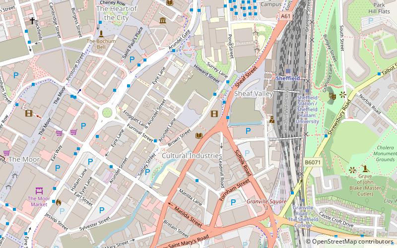
Yorkshire ArtSpace is a project established to provide studio space for artists which opened in October 2001 at the Persistence Works building in Sheffield, South Yorkshire, England. It occupies a key site at the termination of Furnival Street, forming a main elevation to Brown Street, the main street of the city's Cultural Industries Quarter. ()
Coordinates: 53°22'37"N, 1°27'58"W
Address
Central SheffieldSheffield
ContactAdd
Social media
Add
Day trips
Yorkshire ArtSpace – popular in the area (distance from the attraction)
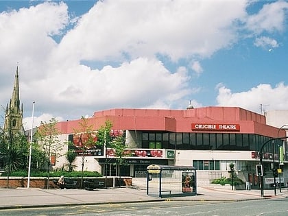
Nearby attractions include: The Leadmill, Sheffield Town Hall, Millennium Gallery, Crucible Theatre.
Frequently Asked Questions (FAQ)
Which popular attractions are close to Yorkshire ArtSpace?
Nearby attractions include Site Gallery, Sheffield (1 min walk), Butchers Wheel, Sheffield (1 min walk), National Centre for Popular Music, Sheffield (1 min walk), Sheaf Square, Sheffield (3 min walk).
How to get to Yorkshire ArtSpace by public transport?
The nearest stations to Yorkshire ArtSpace:
Bus
Train
Tram
Bus
- Leadmill Road/Sheffield Station SS4 • Lines: 80A (2 min walk)
- Paternoster Row/Charles Street • Lines: 181, 218, 257, 271, 272, 56, 65, X17 (2 min walk)
Train
- Sheffield (5 min walk)
Tram
- Sheffield Station / Sheffield Hallam University • Lines: Blue, Purp (6 min walk)
- Granville Road / The Sheffield College • Lines: Blue, Purp (7 min walk)


