Ystrad Peithyll

Gallery (1)
Map
Map
Facts and practical information
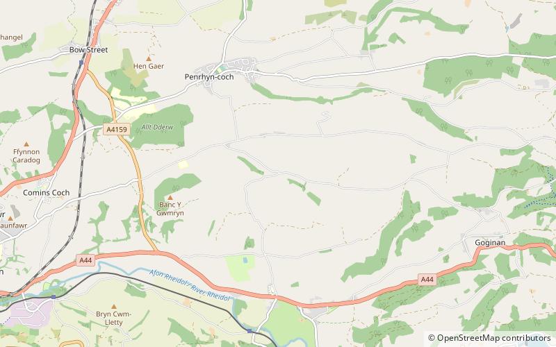
Ystrad Peithyll is the remains of a small 12th-century motte-and-bailey castle on the River Peithyll, near Penrhyn-coch in northern Ceredigion, Wales. The castle was attacked and destroyed by followers of Gruffydd ap Rhys in the early 12th century. ()
Coordinates: 52°25'24"N, 3°58'55"W
Day trips


