Woodstock Road Baptist Church, Oxford
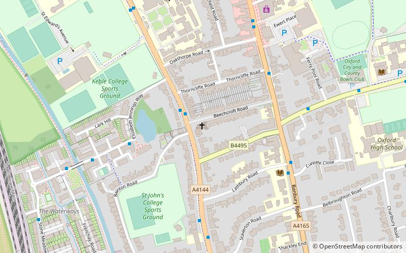
Map
Facts and practical information
Woodstock Road Baptist Church, located in Summertown, Oxford, UK is an evangelical church and is a member of the Fellowship of Independent Evangelical Churches. ()
Coordinates: 51°46'26"N, 1°16'1"W
Getting there by public transportation
Public transportation stops near this location
- Bus
 Bus
Bus
- Calculate routeFerry Pool Road 5 min walk
- Calculate routeCherwell School 9 min walk
- Calculate routeSt Margarets Road 11 min walk
- Calculate routePlantation Road 20 min walk
Day trips


Frequently Asked Questions (FAQ)
Which popular attractions are close to Woodstock Road Baptist Church?
Nearby attractions include Moreton Road, Oxford (2 min walk), Lathbury Road, Oxford (4 min walk), Staverton Road, Oxford (5 min walk), Bainton Road, Oxford (7 min walk).
How to get to Woodstock Road Baptist Church by public transport?
The nearest stations to Woodstock Road Baptist Church:
Bus
Bus
- Ferry Pool Road • Lines: 14A (5 min walk)
- Cherwell School • Lines: 14A (9 min walk)