Allerton Tower Park, Liverpool
Map
Facts and practical information
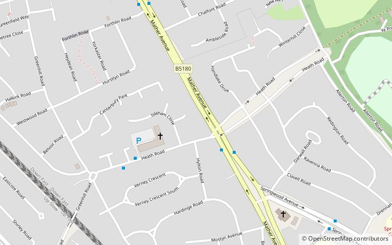
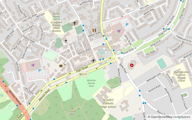
Allerton Tower Park is a public park in Allerton, Liverpool, in England. ()
Elevation: 105 ft a.s.l.Coordinates: 53°22'1"N, 2°53'38"W
Address
CressingtonLiverpool
ContactAdd
Social media
Add
Getting there by public transportation
Public transportation stops near this location
- Bus
- Train
 Bus
Bus
- Calculate routeWest Allerton 15 min walk
- Calculate routeLiverpool South Parkway 18 min walk
- Calculate routeCressington 25 min walk
- Calculate routeMossley Hill 30 min walk
- Calculate routeLiverpool South Parkway 17 min walk
Day trips


Frequently Asked Questions (FAQ)
Which popular attractions are close to Allerton Tower Park?
Nearby attractions include 20 Forthlin Road, Liverpool (7 min walk), Allerton Golf Club House, Liverpool (13 min walk), Clarke's Gardens, Liverpool (15 min walk), St Austin's Church, Liverpool (22 min walk).
How to get to Allerton Tower Park by public transport?
The nearest stations to Allerton Tower Park:
Train
Bus
Train
- West Allerton (15 min walk)
- Liverpool South Parkway (18 min walk)
Bus
- Liverpool South Parkway (17 min walk)