Brasenose Lane, Oxford
Map
Gallery
Facts and practical information
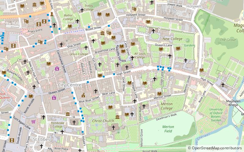
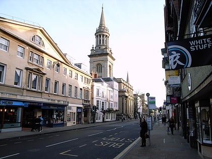
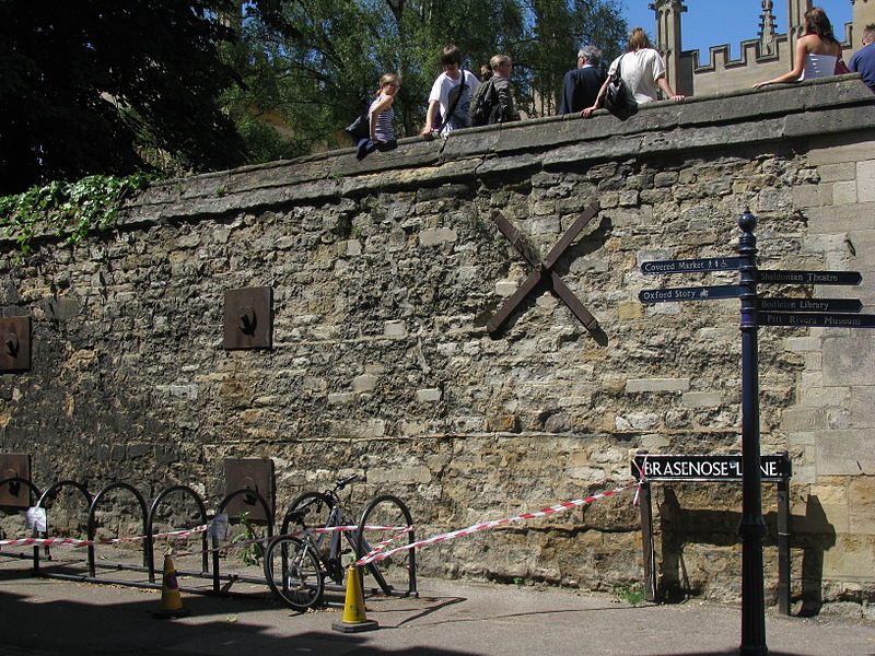
Brasenose Lane runs east–west in central Oxford, England, between Turl Street and Radcliffe Square respectively. From Turl Street it is only accessible to pedestrians, but vehicles can enter from Radcliffe Square. The lane retains the medieval pattern of a single drainage channel in its centre and has high stone-faced college buildings on each side, being flanked by three historic Oxford colleges. ()
Coordinates: 51°45'13"N, 1°15'19"W
Address
CarfaxOxford
ContactAdd
Social media
Add
Day trips
Brasenose Lane – popular in the area (distance from the attraction)
Nearby attractions include: Turl Street, Covered Market, University Church of St Mary the Virgin, Sheldonian Theatre.
Frequently Asked Questions (FAQ)
Which popular attractions are close to Brasenose Lane?
Nearby attractions include Exeter College, Oxford (1 min walk), Divinity School, Oxford (1 min walk), Lincoln College, Oxford (1 min walk), Brasenose College, Oxford (2 min walk).
How to get to Brasenose Lane by public transport?
The nearest stations to Brasenose Lane:
Bus
Train
Bus
- Turl Street • Lines: 280, 3A, U1 (3 min walk)
- High Street • Lines: 10, 3A, 5A (4 min walk)
Train
- Oxford (17 min walk)


