Canning Dock, Liverpool
Map

Gallery

Facts and practical information
Canning Dock on the River Mersey is part of the Port of Liverpool in Northern England. The dock is in the southern dock system, connected to Salthouse Dock to the south and with access to the river via the Canning Half Tide Dock to the west. The Canning Graving Docks are accessed from the dock. ()
Coordinates: 53°24'8"N, 2°59'25"W
Address
Central LiverpoolLiverpool
ContactAdd
Social media
Add
Day trips
Canning Dock – popular in the area (distance from the attraction)
Nearby attractions include: Church Street, Mathew Street, Tate Liverpool, Merseyside Maritime Museum.
Frequently Asked Questions (FAQ)
Which popular attractions are close to Canning Dock?
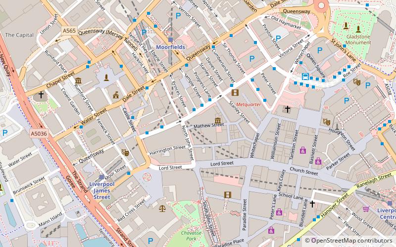
Nearby attractions include Old Dock, Liverpool (2 min walk), The Beatles Fab Four Taxi Tour, Liverpool (3 min walk), Chavasse Park, Liverpool (3 min walk), Merseyside Maritime Museum, Liverpool (4 min walk).
How to get to Canning Dock by public transport?
The nearest stations to Canning Dock:
Bus
Train
Tram
Bus
- Liverpool One (3 min walk)
- Paradise St Interchange • Lines: 500 (3 min walk)
Train
- Liverpool James Street (6 min walk)
- Moorfields (12 min walk)
Tram
- Woodside Ferry • Lines: Wirral Tramway (25 min walk)
- Shore Road • Lines: Wirral Tramway (27 min walk)

