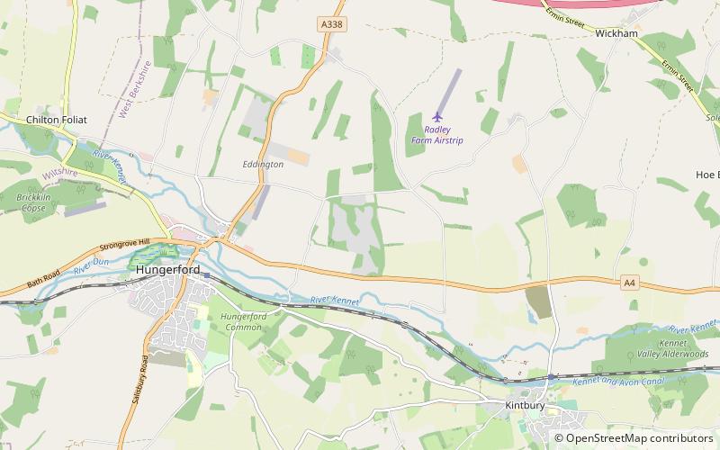
Denford Park, Hungerford

Map
Facts and practical information
Denford Park is a country house and surrounding estate in the English county of Berkshire, within the civil parish of Kintbury. ()
Coordinates: 51°25'15"N, 1°28'56"W
Address
Hungerford
ContactAdd
Social media
Add
Day trips
Denford Park – popular in the area (distance from the attraction)
Nearby attractions include: Dun Mill Lock, Wire Lock, Brunsden Lock, Kennet and Lambourn Floodplain.


