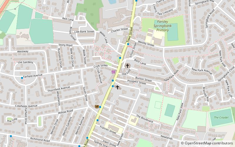
Farsley, Leeds
Map

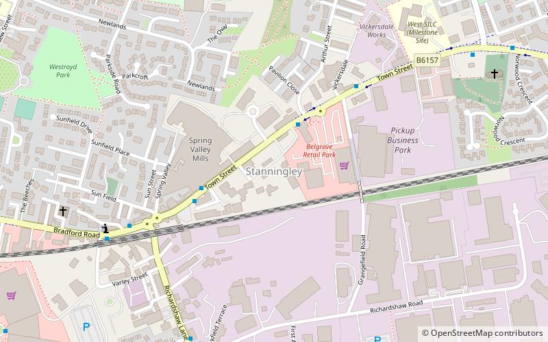
Map

Facts and practical information
Farsley is a town in the City of Leeds metropolitan borough, West Yorkshire, England 6 miles to the west of Leeds city centre, 4 miles east of Bradford. Farsley is situated between the two cities and near the town of Pudsey. Before April 1974, Farsley was part of the Borough of Pudsey. Before 1934 it was its own urban district council. It had its own council offices opposite the cenotaph, which is now a dental practice. The ward of Calverley and Farsley also includes the estate of Swinnow and some northern parts of Pudsey. ()
Address
North Pudsey (Stanningley)Leeds
ContactAdd
Social media
Add
Day trips
Farsley – popular in the area (distance from the attraction)
Nearby attractions include: Pudsey Park, Pudsey Town Hall, Calverley, Pudsey.
Frequently Asked Questions (FAQ)
How to get to Farsley by public transport?
The nearest stations to Farsley:
Train
Bus
Train
- New Pudsey (16 min walk)
Bus
- Cemetery Road Victoria Road • Lines: 4 (25 min walk)
- Owlcotes Road Owlcotes Gardens • Lines: 4 (26 min walk)


