Swinnow, Leeds
Map

Map

Facts and practical information
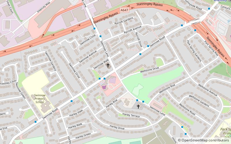
Swinnow is a housing estate in west Leeds, West Yorkshire, England. It is situated between Bramley and Pudsey on the west side of the outskirts of Leeds and is currently part of the Leeds City Council ward of Pudsey. ()
Coordinates: 53°48'7"N, 1°38'42"W
Address
South PudseyLeeds
ContactAdd
Social media
Add
Day trips
Swinnow – popular in the area (distance from the attraction)
Nearby attractions include: Pudsey Park, Bramley Park, Pudsey Town Hall, Farsley.
Frequently Asked Questions (FAQ)
Which popular attractions are close to Swinnow?
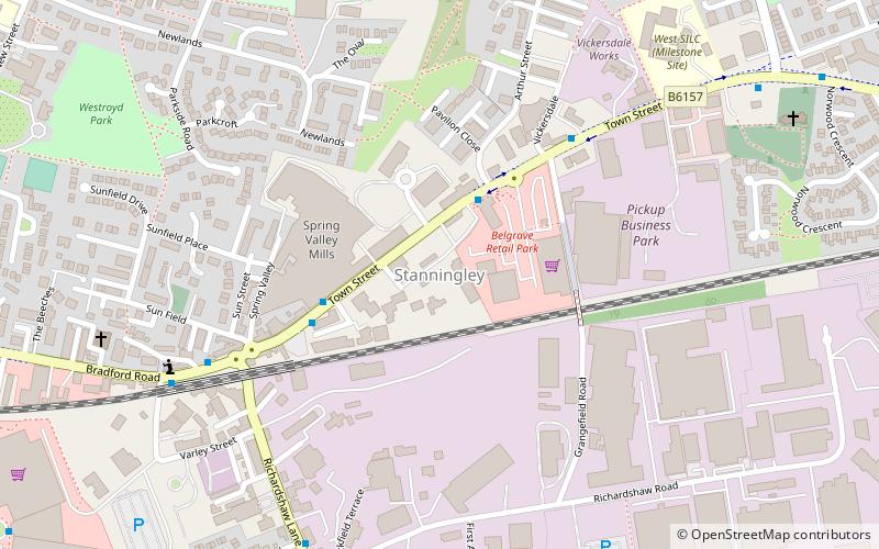
Nearby attractions include Bramley Park, Leeds (20 min walk), Stanningley, Leeds (21 min walk), Pudsey Town Hall, Bradford (21 min walk).
How to get to Swinnow by public transport?
The nearest stations to Swinnow:
Bus
Train
Bus
- Swinnow Pudsey • Lines: 14, 4, 4F (2 min walk)
- Swinnow Road Rycroft Drive • Lines: 4, 4F (3 min walk)
Train
- Bramley (11 min walk)


